Algonquin - Brent
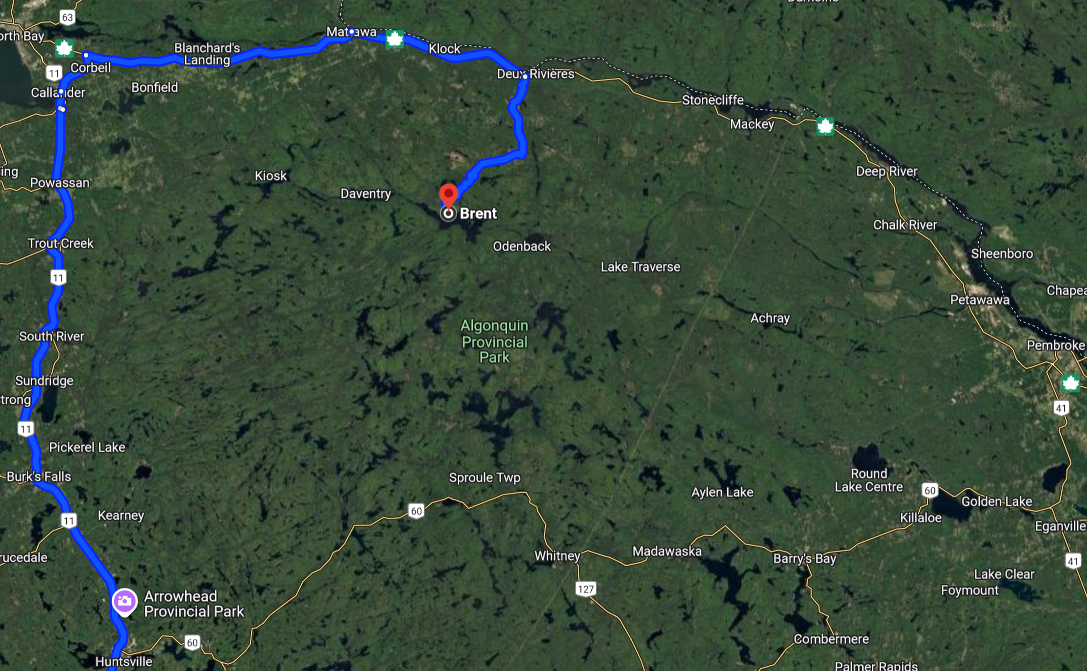
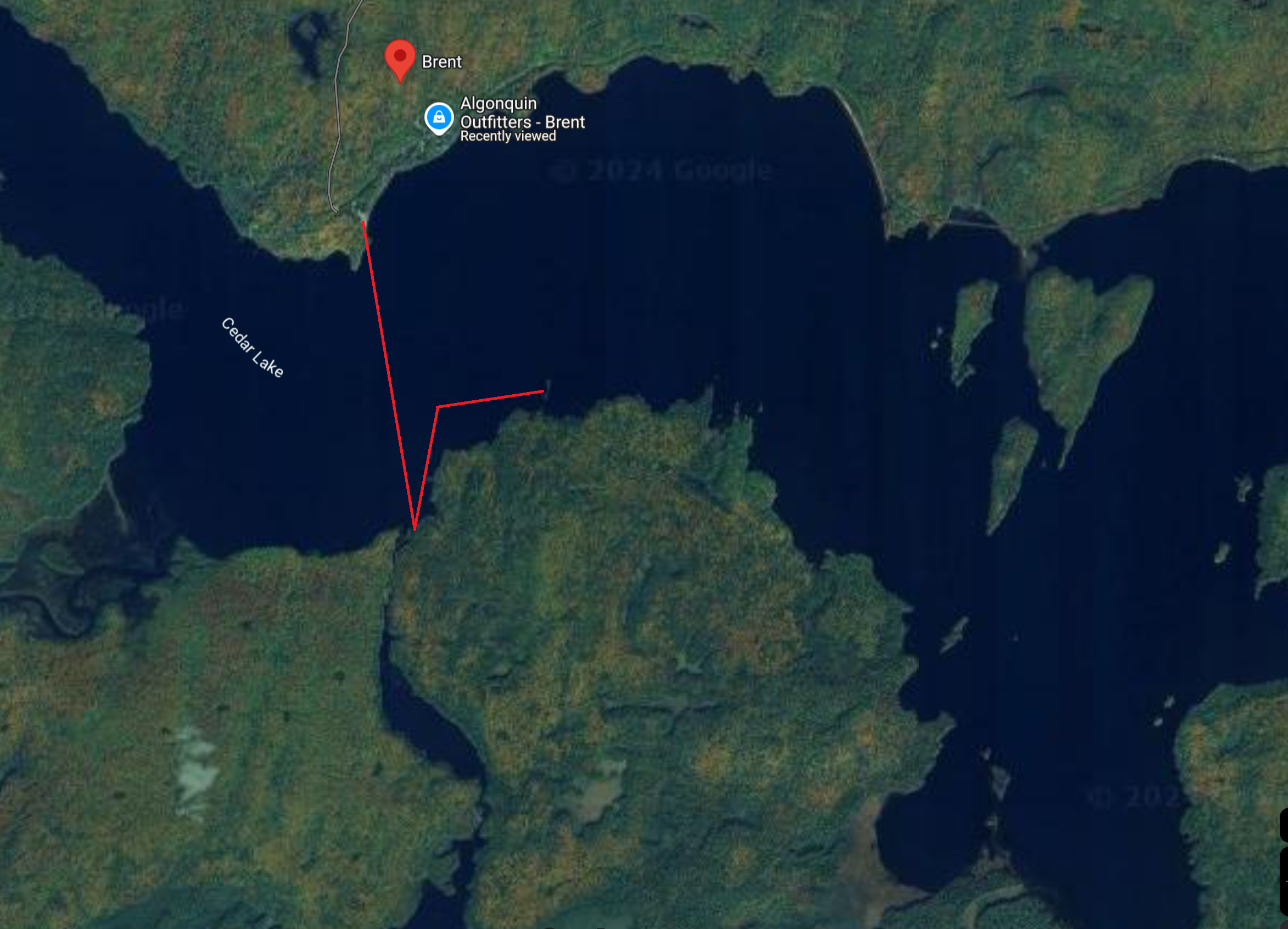
First trip to Algonquin region is in Brent from 09/27/24-09/30/24. Brent is located in Algonquin North and is accessed by a 40km forest road off Highway 17 which borders the Ottawa River. The closest gas station is in Mattawa, 71km from Brent.
Day 1: Leaving for Algonquin
09/27/24
Left the house at 4:45am to load my bike on the car. Picked up Sean and we left Windsor around 6am. I stopped multiple times along the way for gas and to check on the bike. Yakima's end cap kept coming off and was eventually lost with the bike's rear wheel strap almost disconnected from the bar. We replaced the end cap with rope and zip ties which seems to work much better anyways.
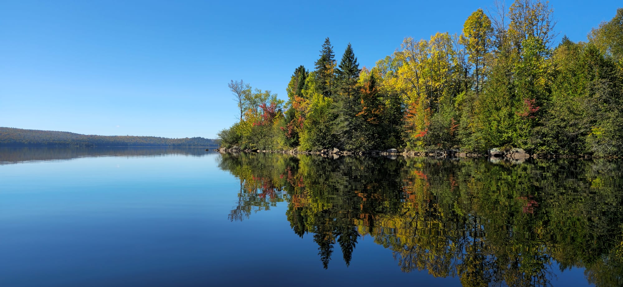
Brent
The forest is dense and the road is rough. Aros put too much air in my tires. Brent was a logging settlement for over a century and also host many fisherman before Cedar Lake was fished out. What remains is grandfathered properties which are still homes to some locals.
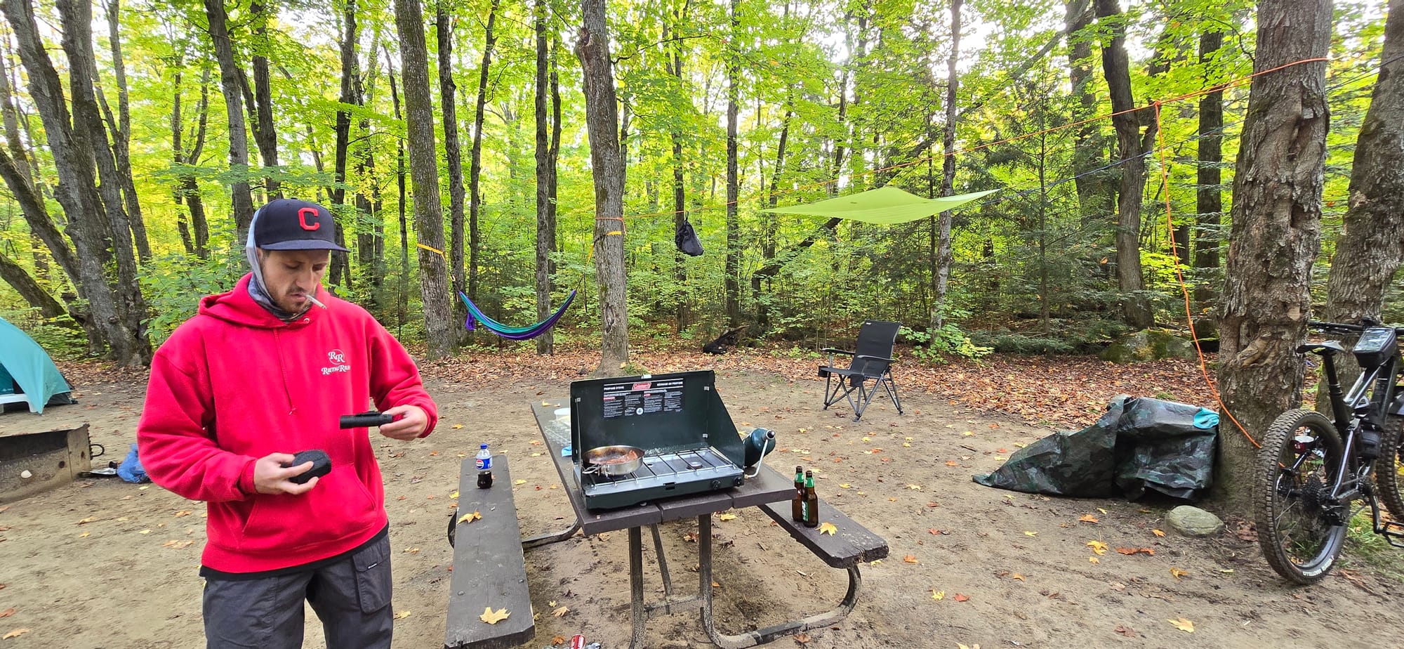
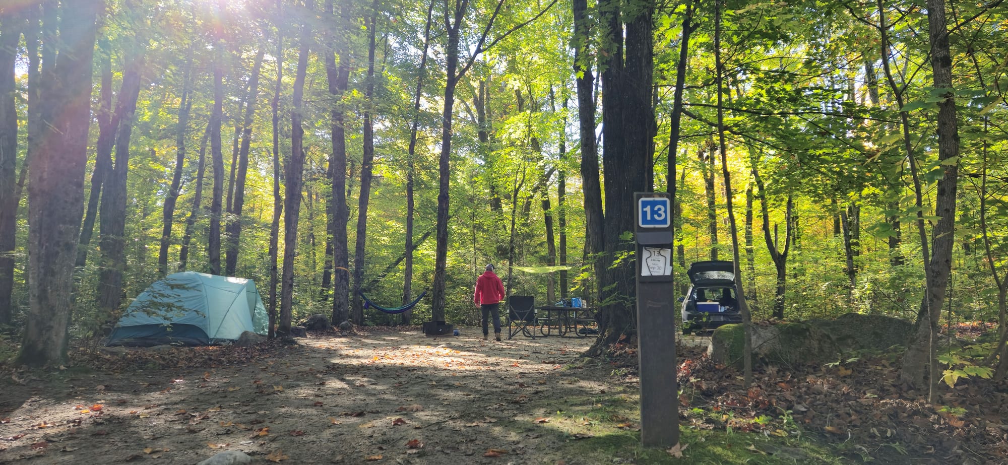
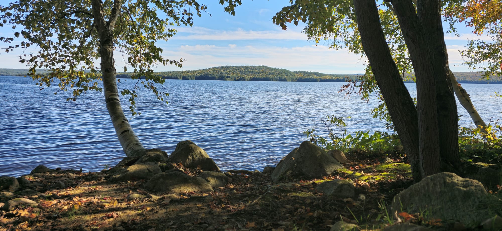
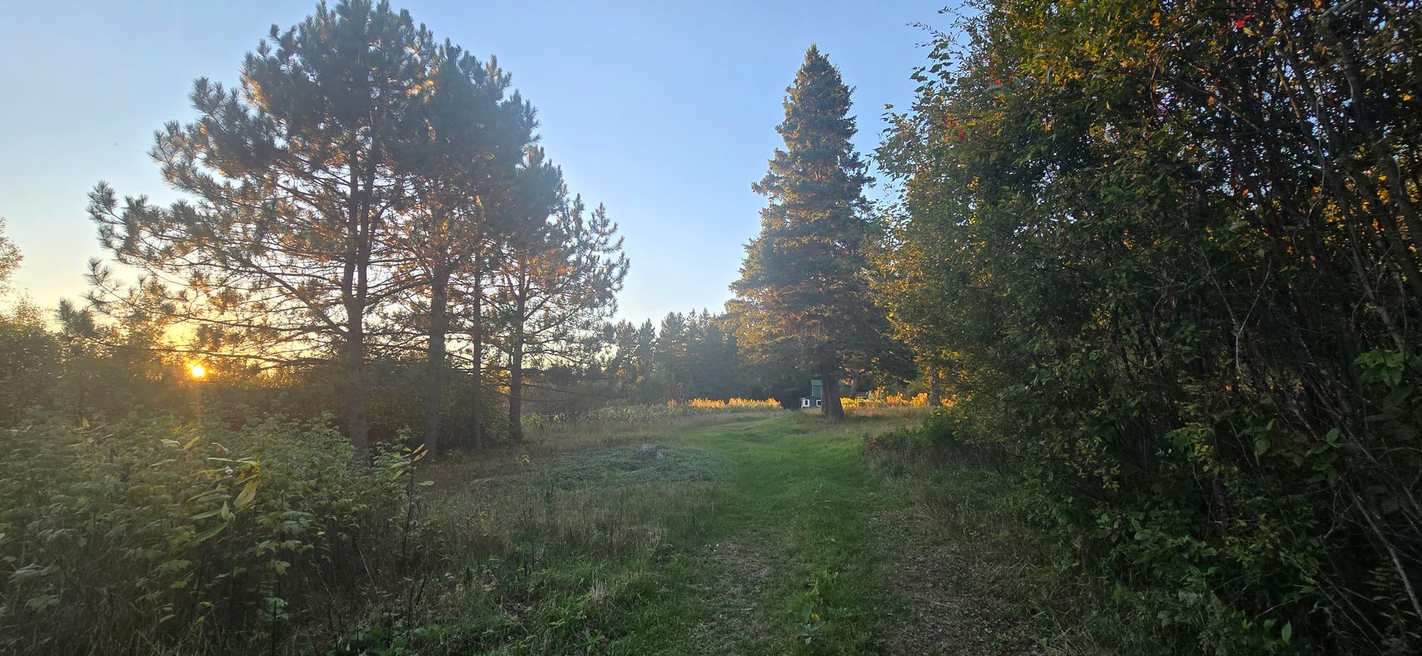
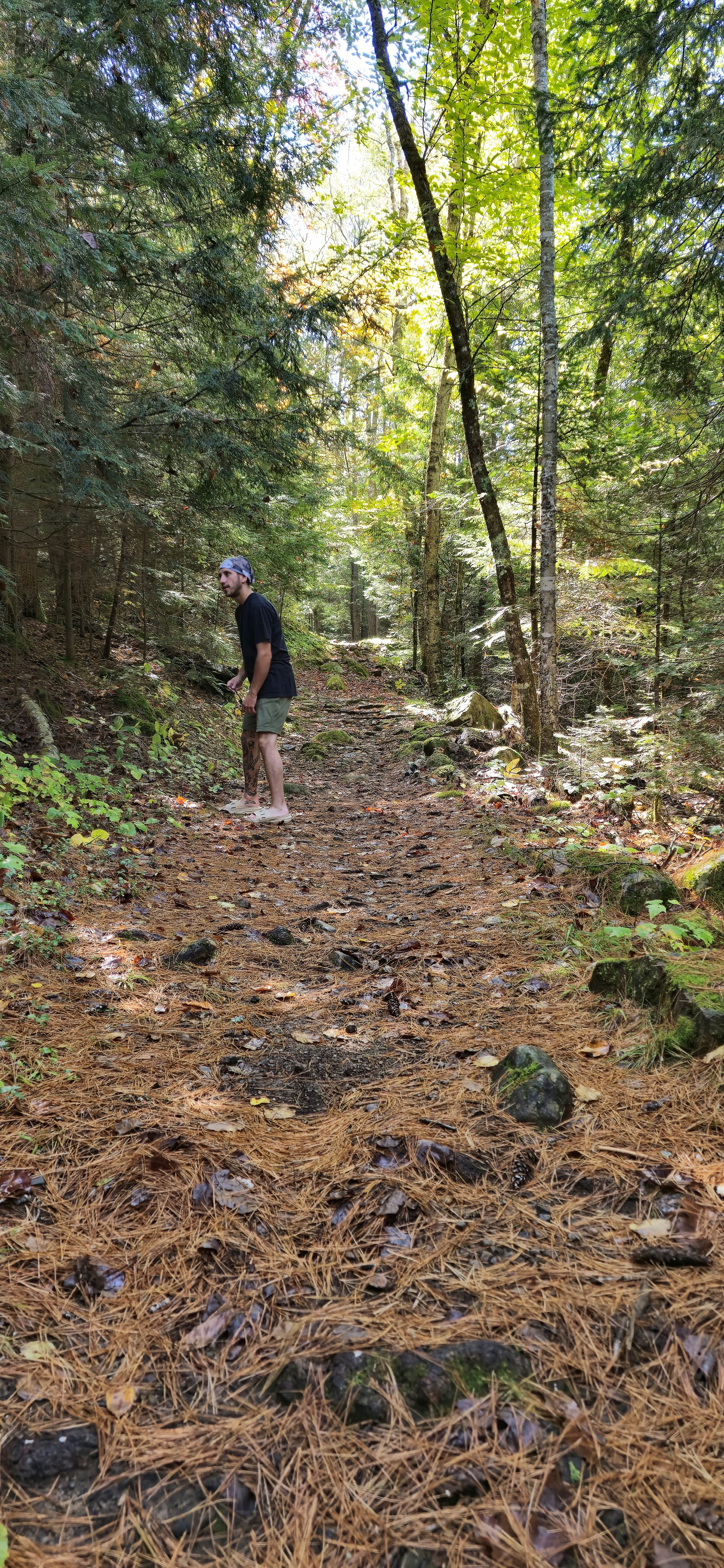
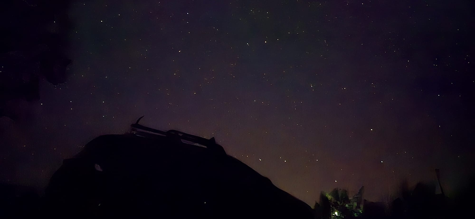
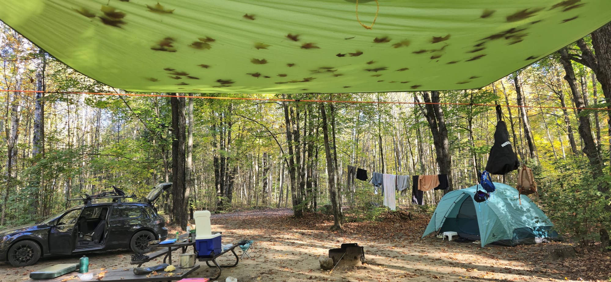
Campsite 13
Clean site on the edge of its section but not very close to water. Campsite 30 and on are the prime locations in Brent. Sand is what we'll be sleeping on here. An outhouse and water tap are close. No showers on site.
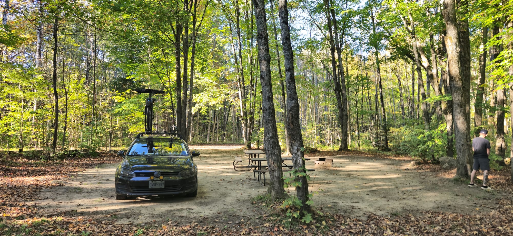
Campsite 13 Area
Day 2: The Crater & Mattawa
09/28/24
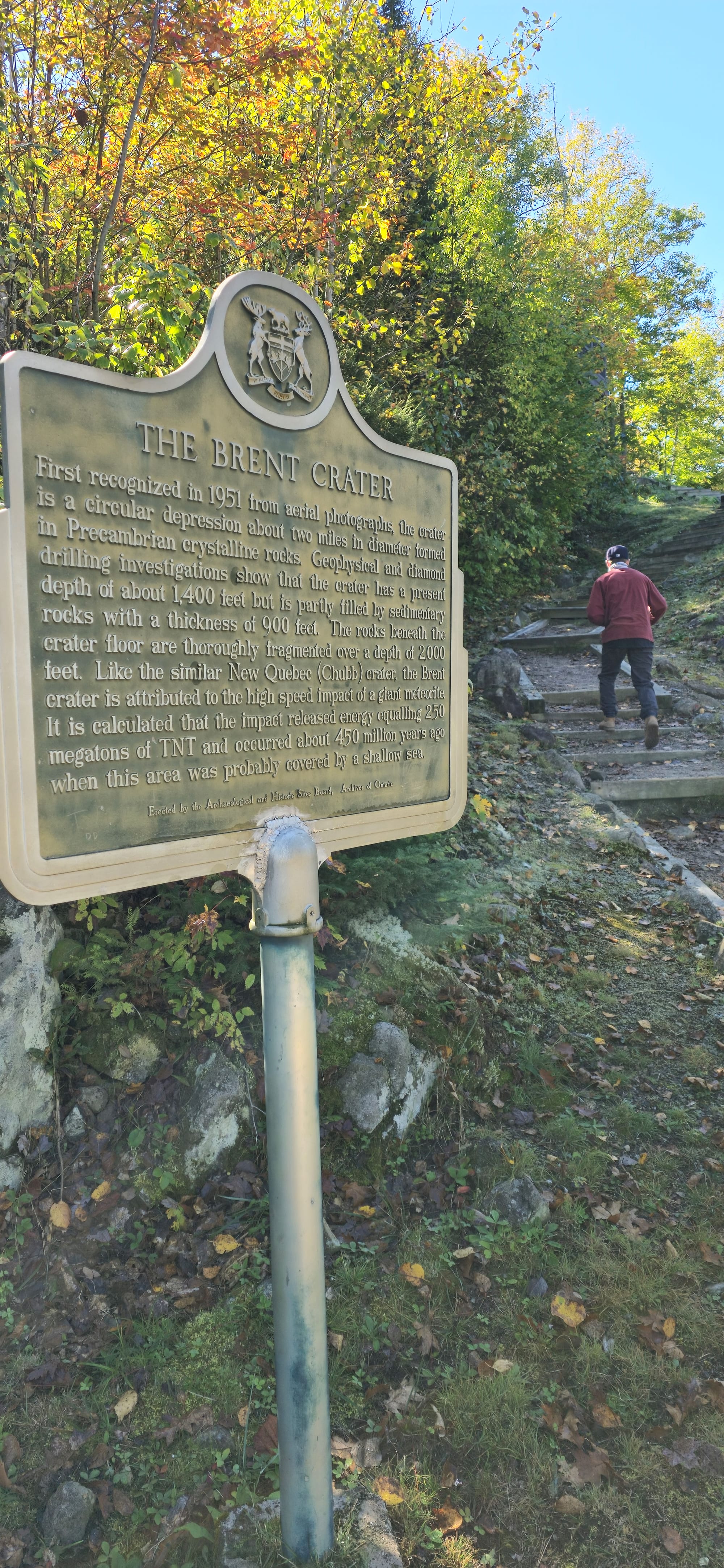
Brent Crater
In search of Kayak/Canoe rentals, we started back for Mattawa but stopped along the forest road at the Brent Crater lookout, 8km from the campsite.
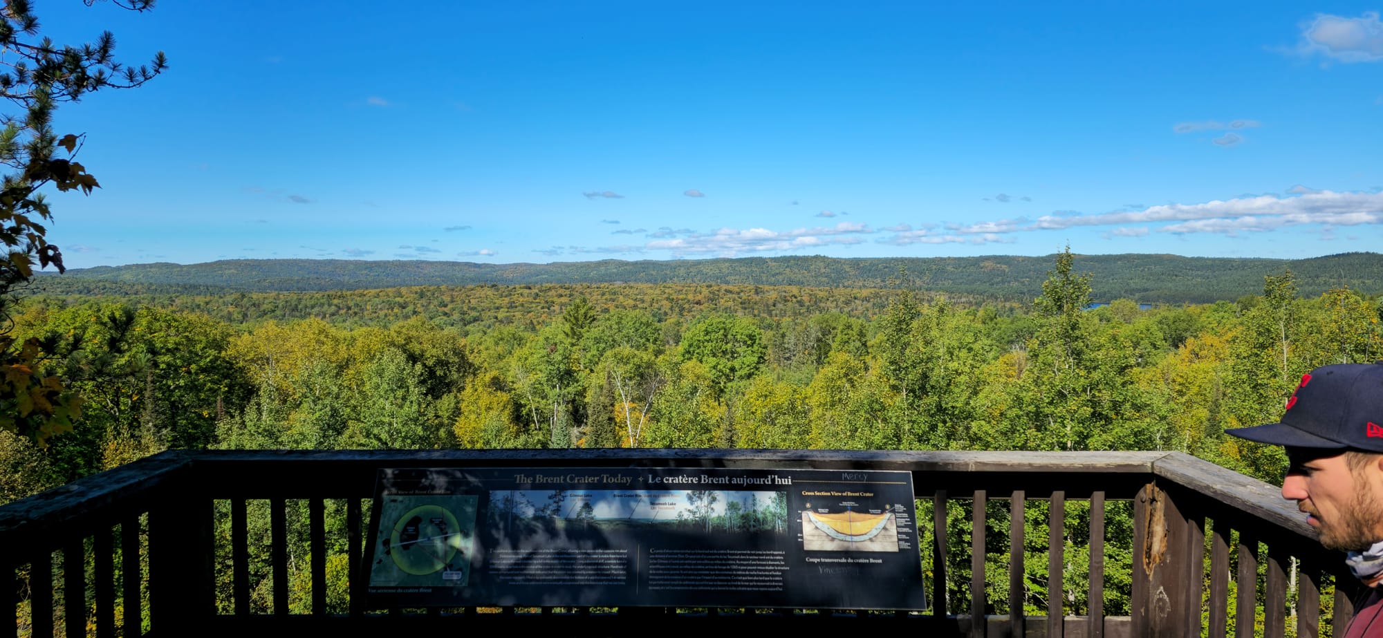
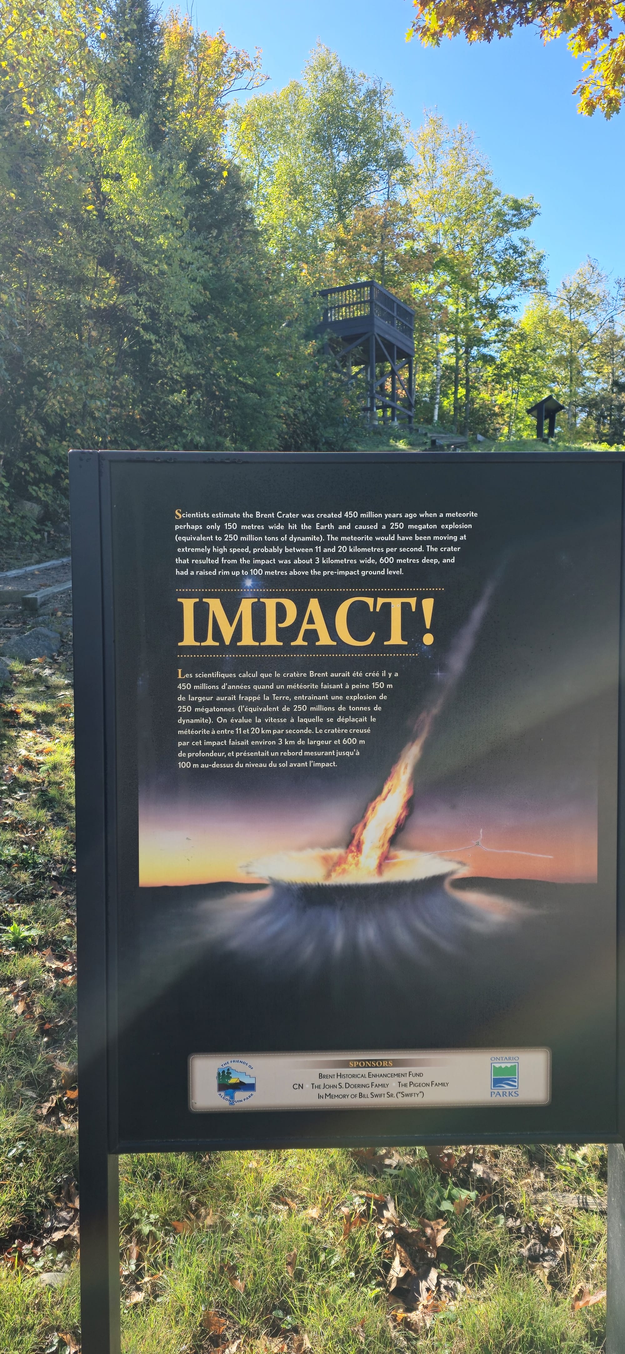
Brent Crater Lookout
Pulling over at the mouth of the forest road where cell service is available, I searched for kayak rentals in the Brent area. Only here had I found out that Algonquin Outfitters Brent is located in the Brent campground.
Mattawa Railway
We then headed to Mattawa for groceries. There's a Foodland, Dollarama, and Giant Tiger beside a free parking lot in the downtown area. Here we bought shrimp, salad, and cans of stew. We put the food in the car and walked over to a bushy area with elevated train tracks. Advancing towards the brush revealed a tunnel underneath the tracks.
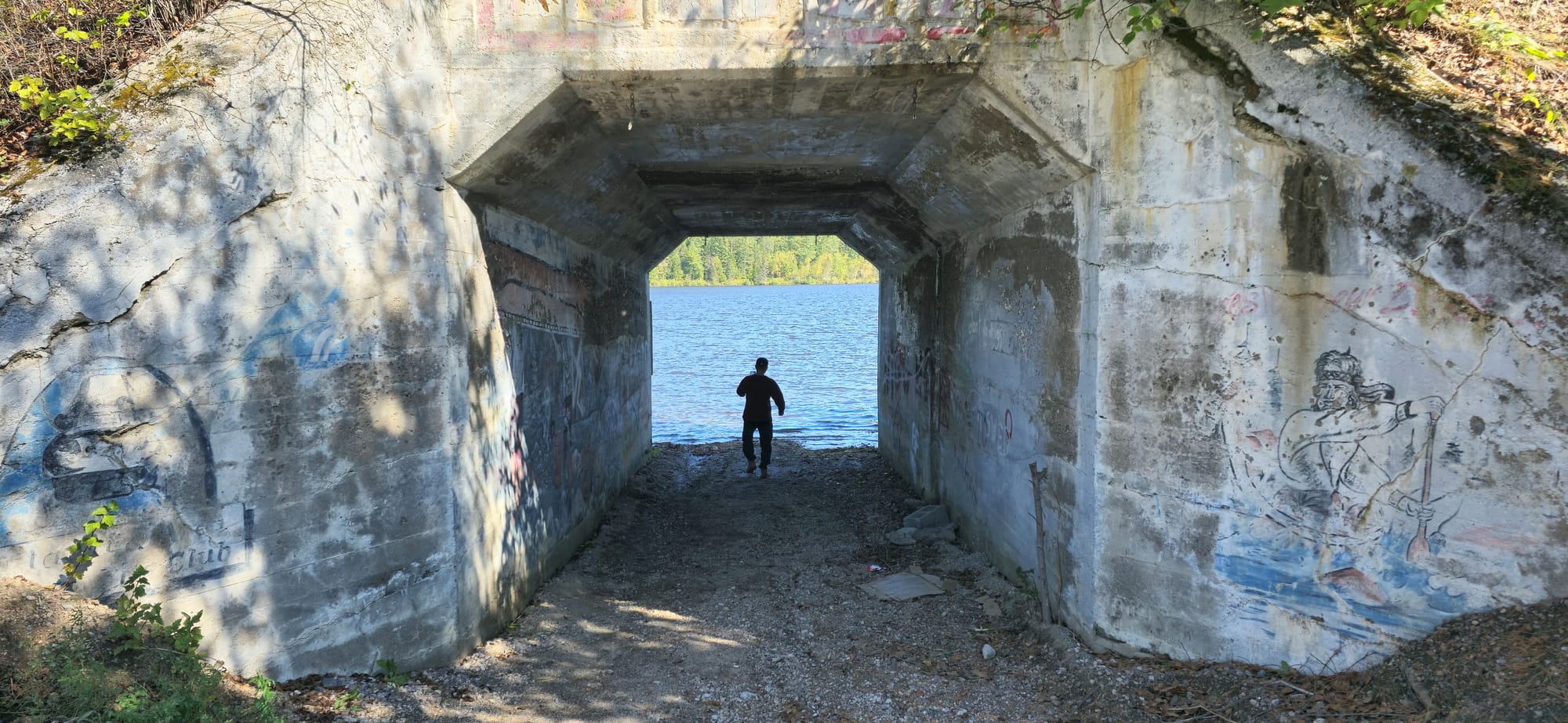
One direction of the railway leads under a bridge section of Highway 17 through Mattawa. Most of the graffiti was ugly. No local artists.
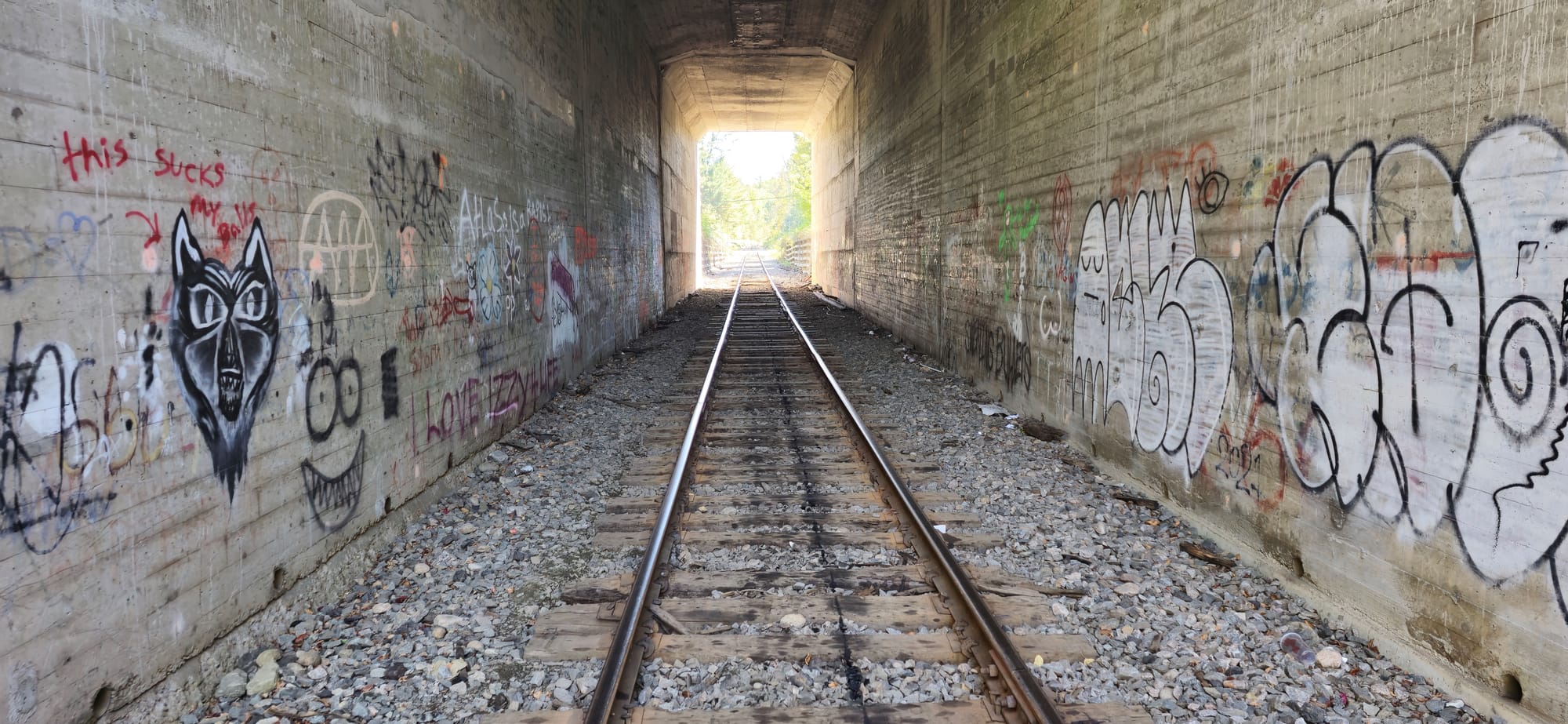
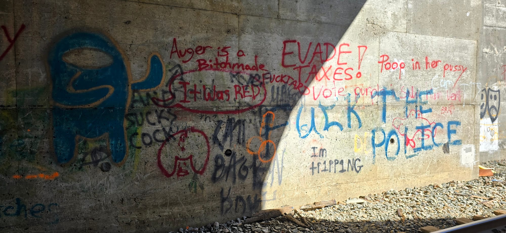
Graffiti in the rail tunnel
The other way lead to a rail bridge across the Ottawa River into Quebec. The Three Crosses historical landmark (1686) stands at the crest of the distant Quebec Hill. The railway accomodates one train per day.
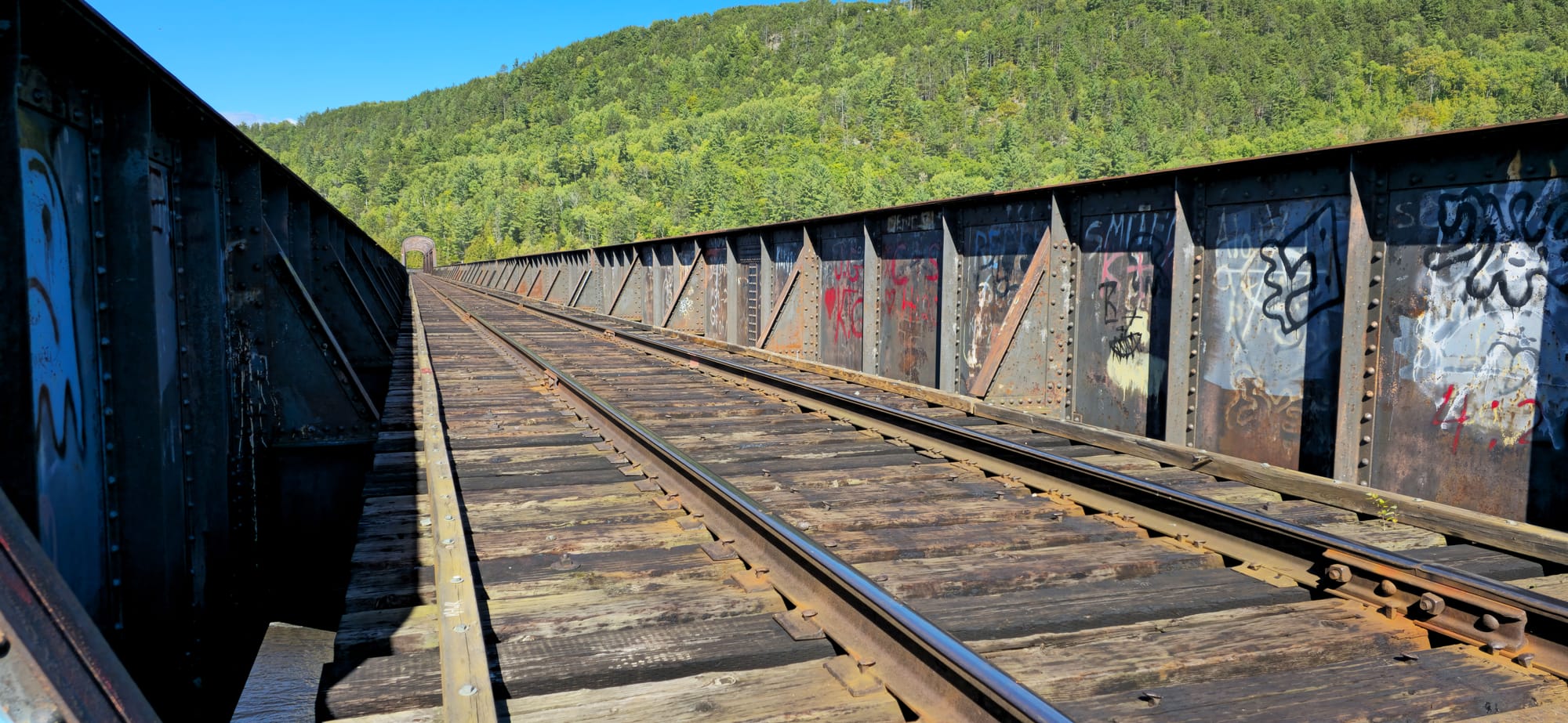
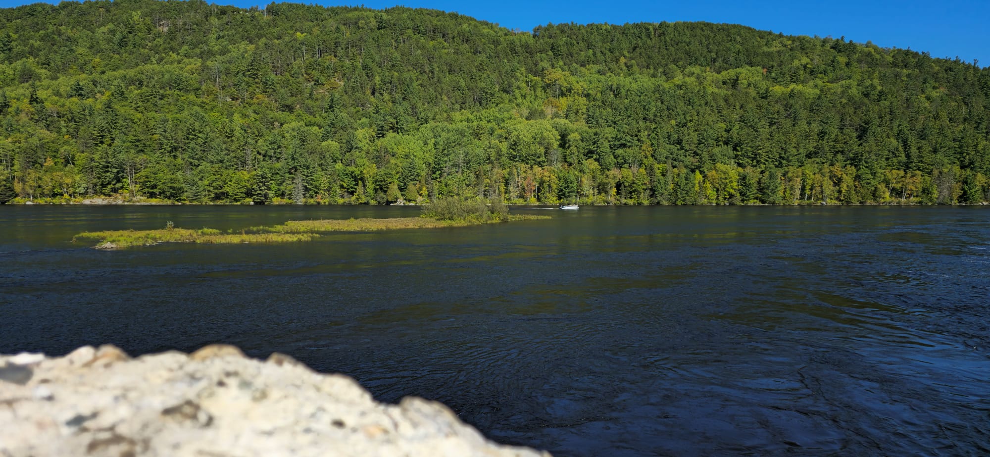
Ottawa River rail bridge from Mattawa
Back in Brent
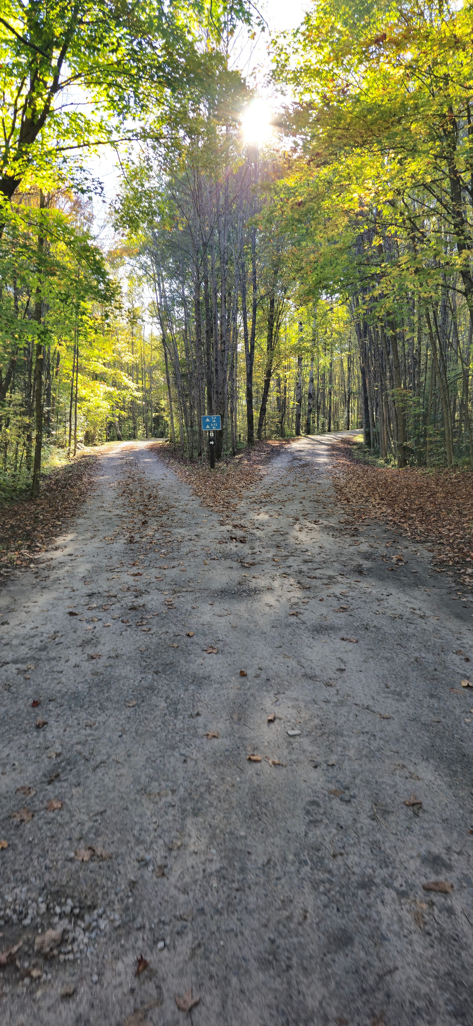
Brent is split into two halves; sites 1-13, and the rest. We explored the other side of the campsite which turned out to be the more premium sites. Campsite 30 was empty but we didn't want to drive back up the forest road to switch sites at the main office.
Campsite 30's lower ledge. One could tent here.
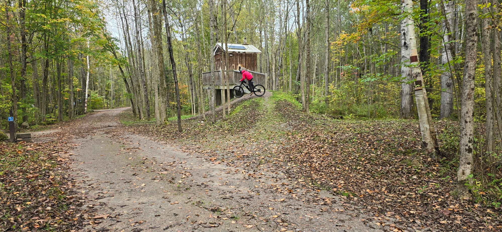
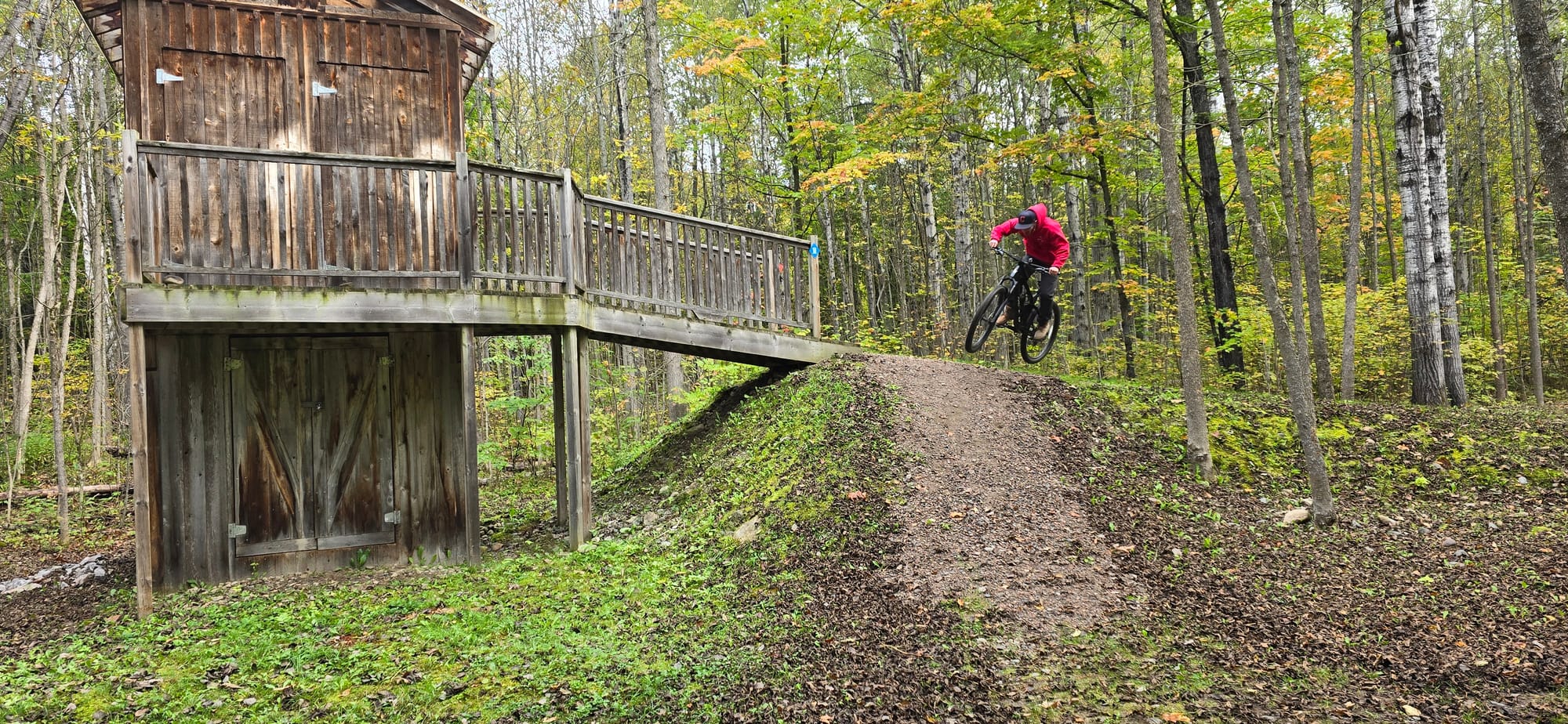
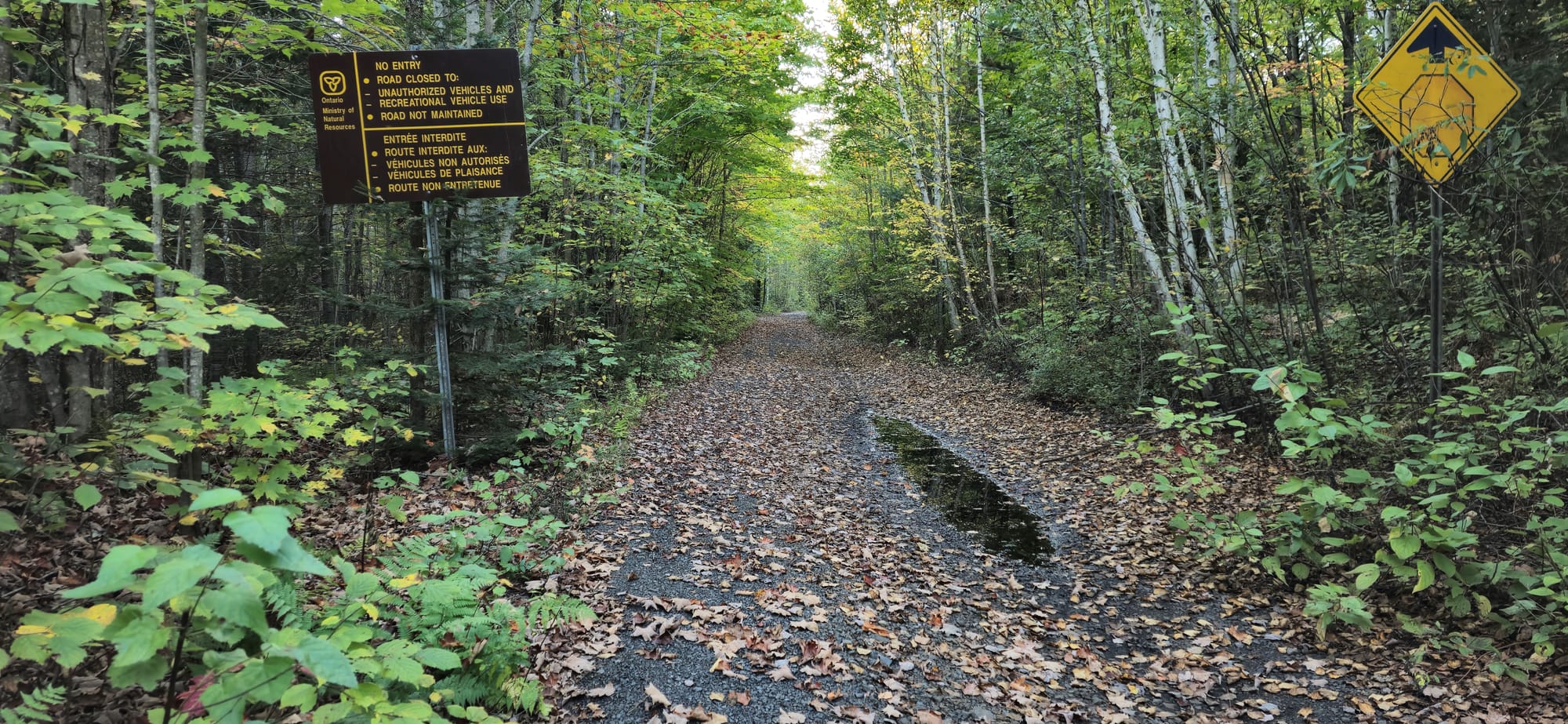
We had shrimp salad for dinner, then I went for a bike ride to completely explore the whole campground. There's a campsite in the 1-7 section completely isolated along a foot trail. A campsite in the 30s section is on a shelf of the hill overlooking the water. There are private CN Rail trails that go all throughout Brent and are really the only trails in the area which traverse the forest. I followed the trail for portage launch point #2, but only found a house at the end of the trial. I didn't venture further as it was eerily quiet here.

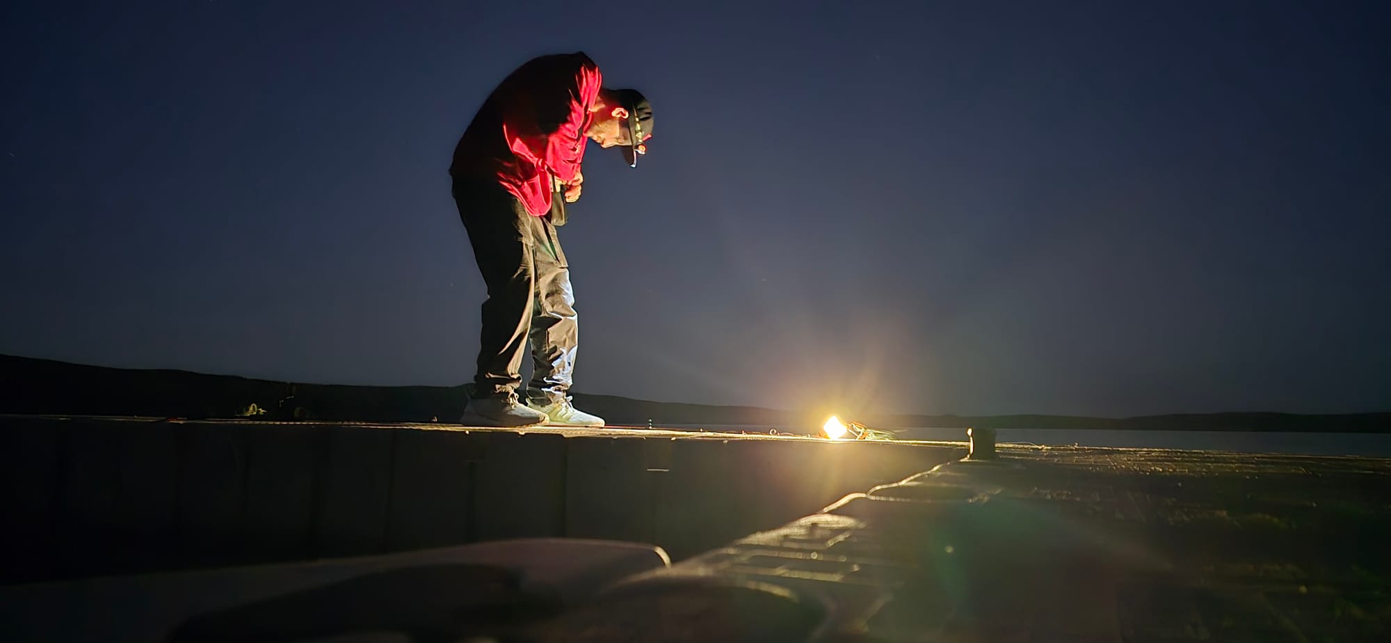
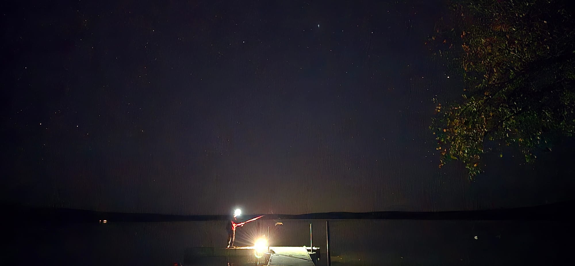
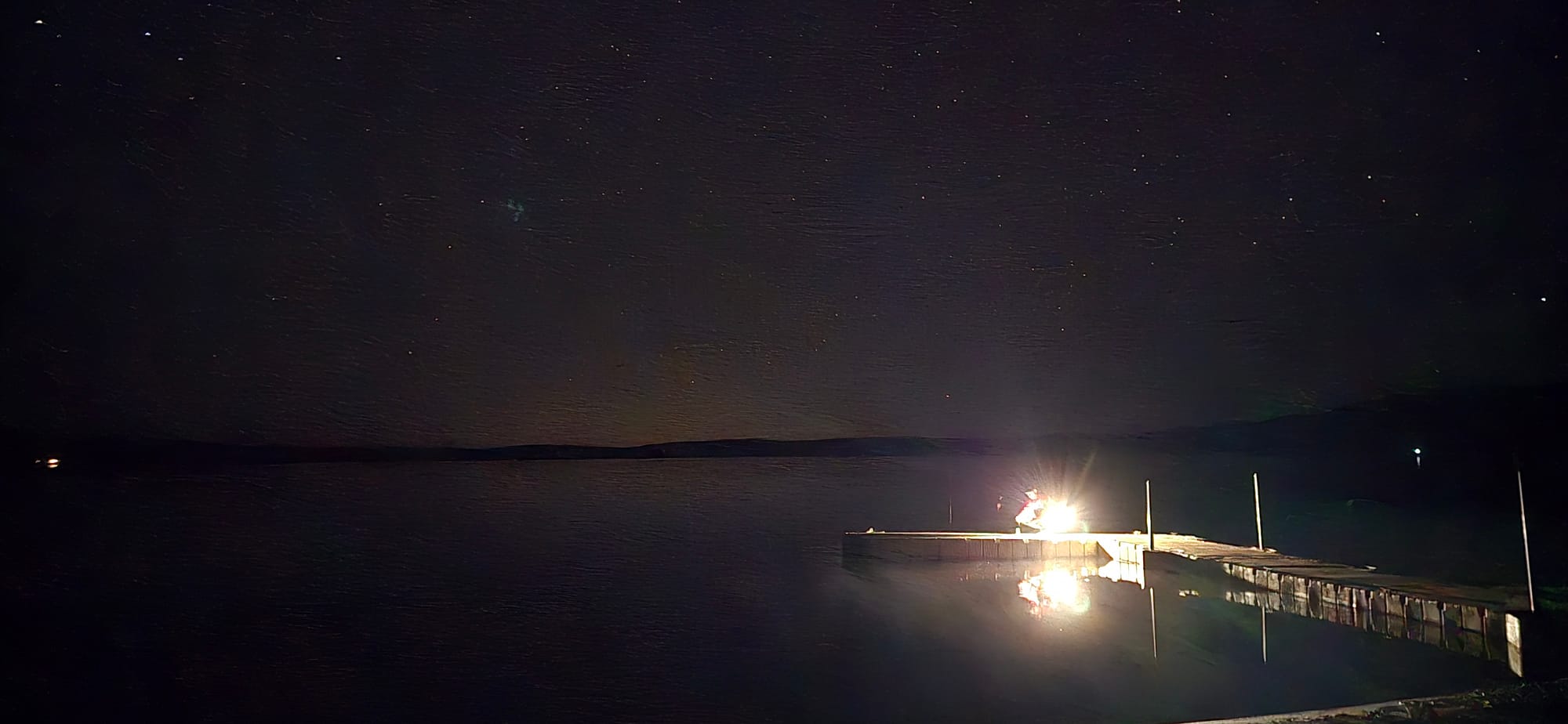
At night we went to the dock and Sean attempted fishing (lol)


Fog floods the area which made stuff along the ground really wet
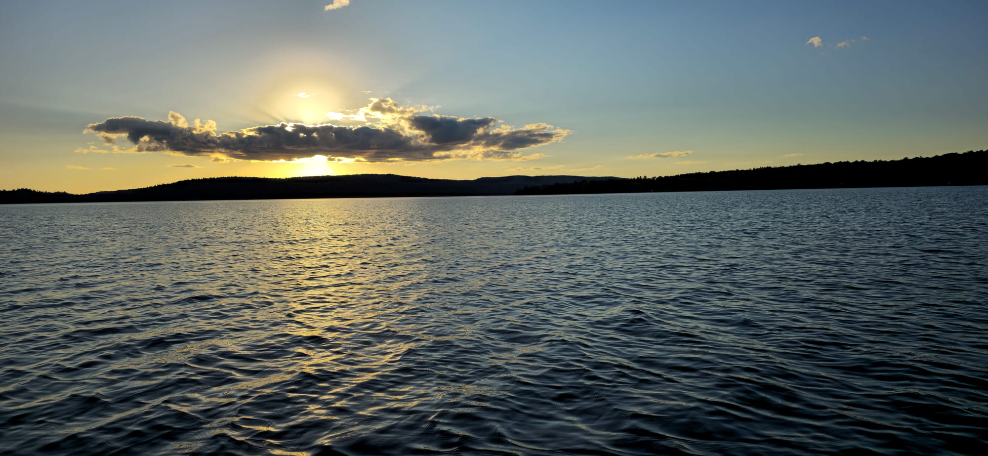
Fog rolling over Cedar Lake
Day 3: Cedar Lake Canoeing
09/29/24
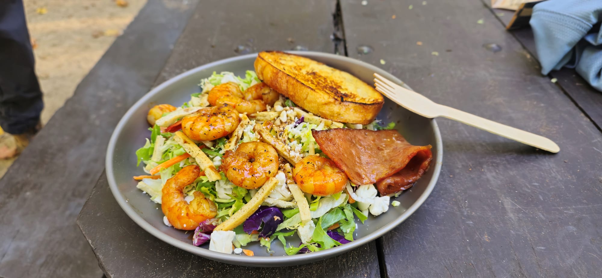
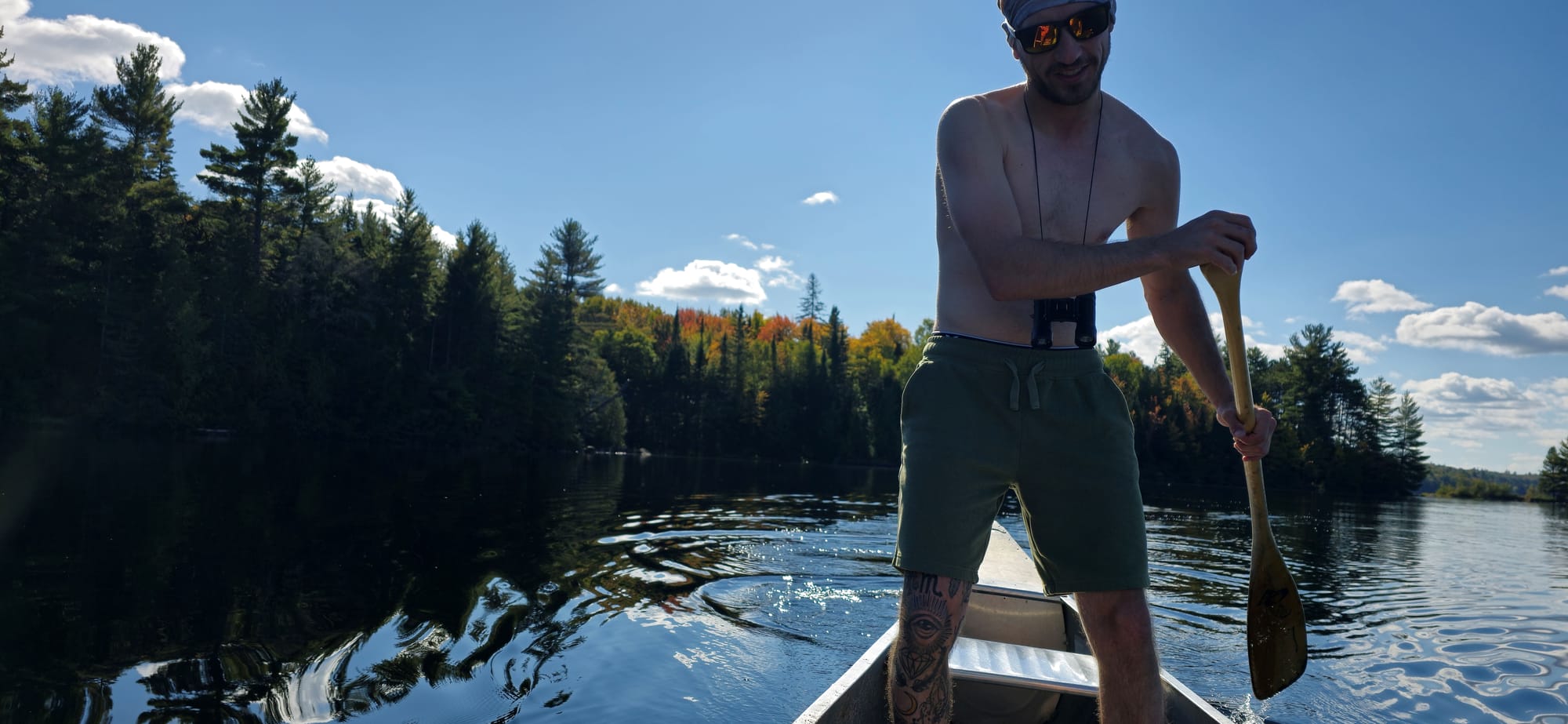
It's our last day here and we haven't been on the water. We headed to Algonquin Outfitters right as we woke for their first come first serve day rentals. The lakeside store is ran by an old couple, Jake and Bonnie Pidgeon, and their dog Gus. Apparently Jake, who is 87, still regularly portages through Algonquin. From his dock, he watches people on the lake, ready with his Jon boat in case of aquatic emergency. We paddled the canoe from the AO dock to the main dock near Portage Launch #1, where we left our canoe and equipment on the shore, next to another canoe. This belonged to Mike, a regular of Algonquin who hosts expedition trips throughout the area. The fog was still thick and we hadn't ate, so we headed for breakfast at the campsite.
Indian neighbours meditating (live singing)
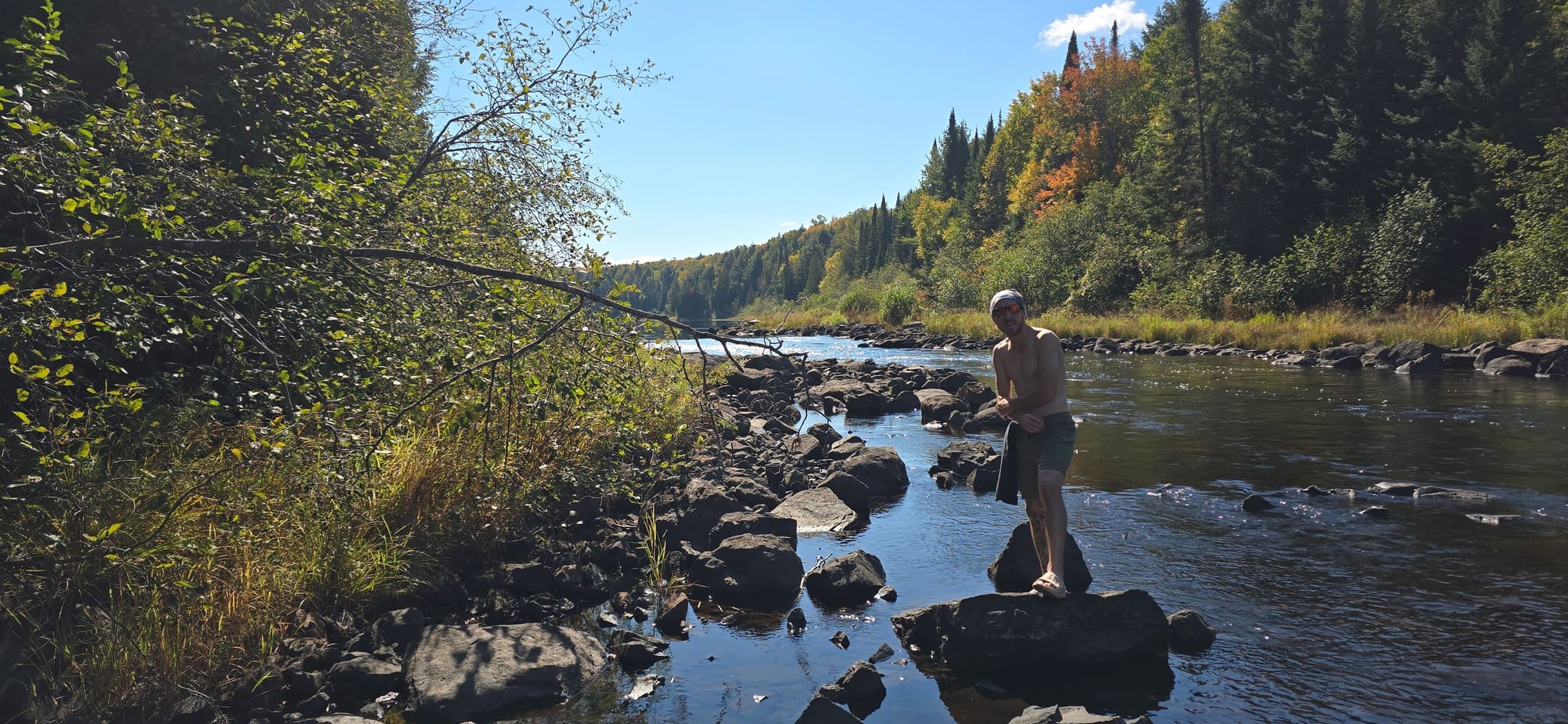
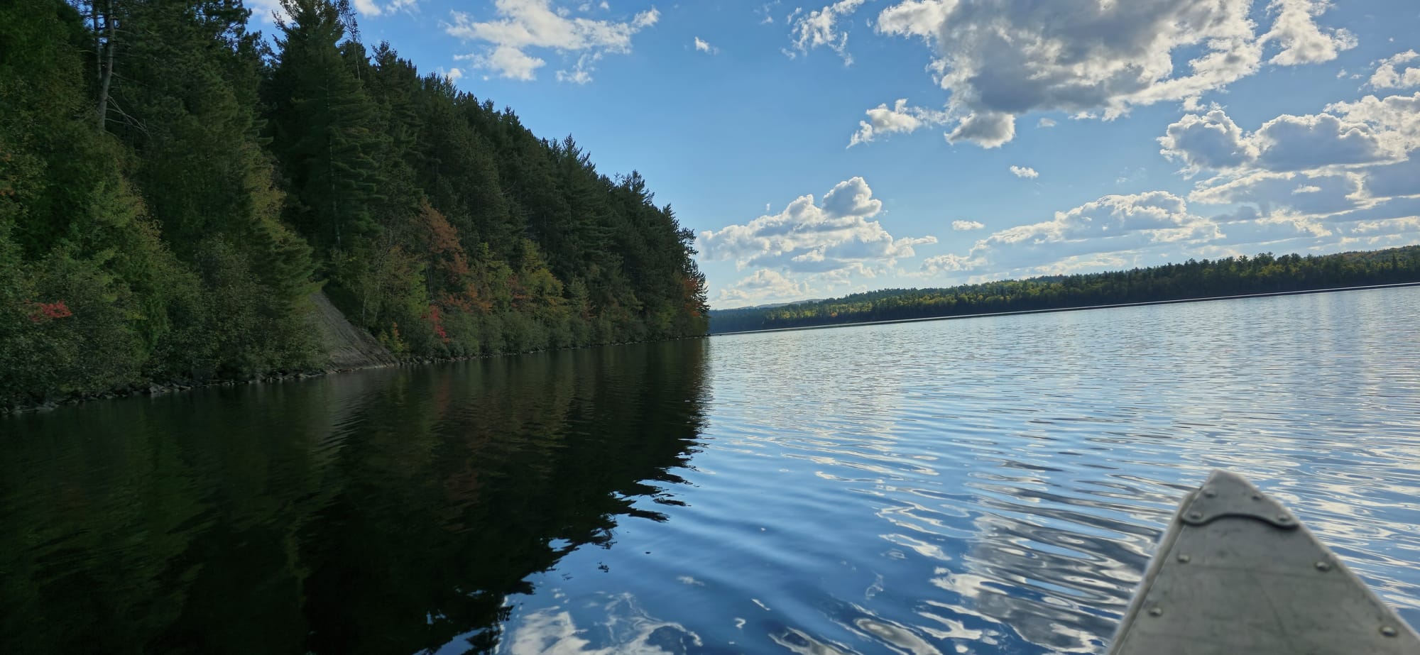
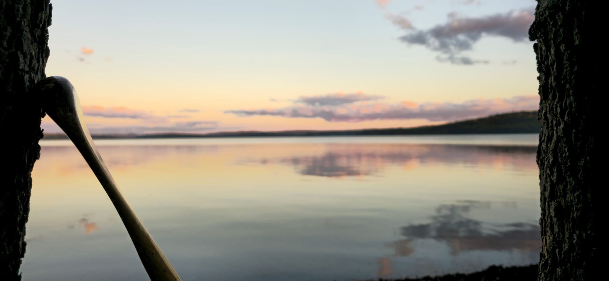
After breakfast went back to the canoe where we met Mike who gave us some directions. We headed to the first spot he mentioned. Directly across Cedar Lake where there's a waterfall and portage route through the forest.
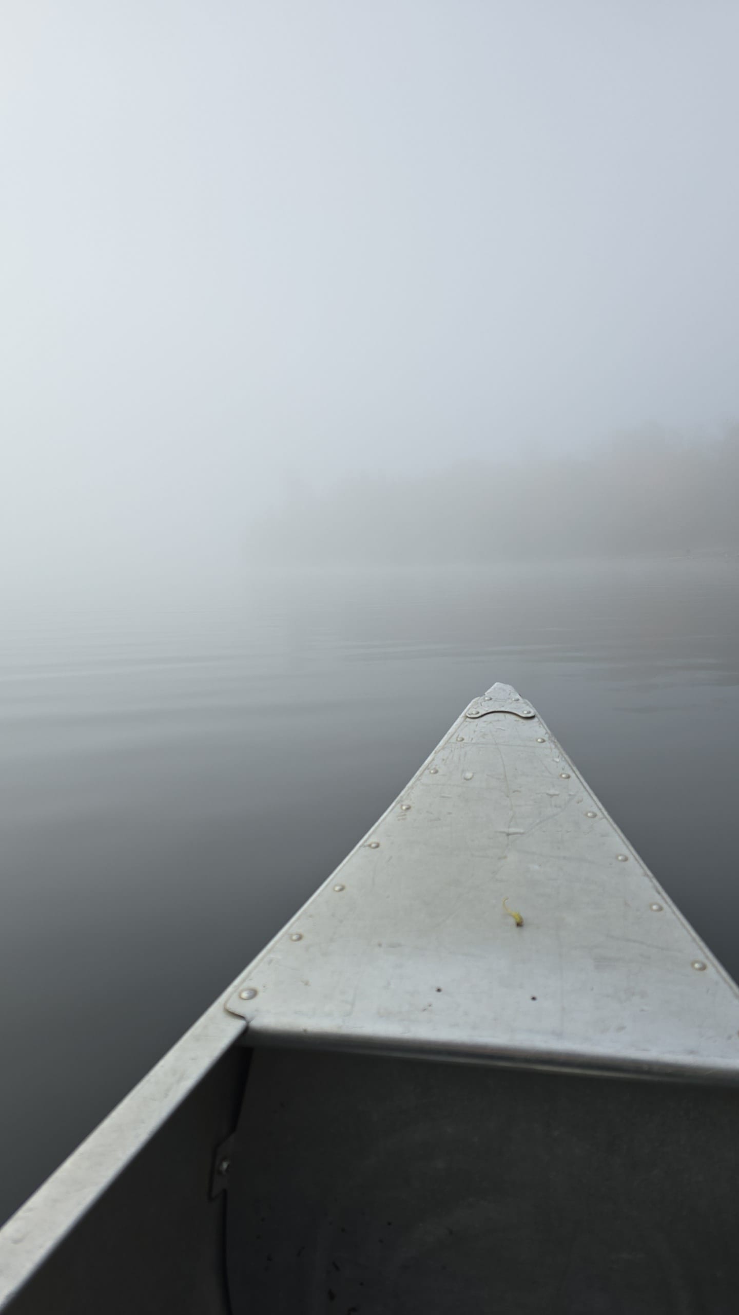
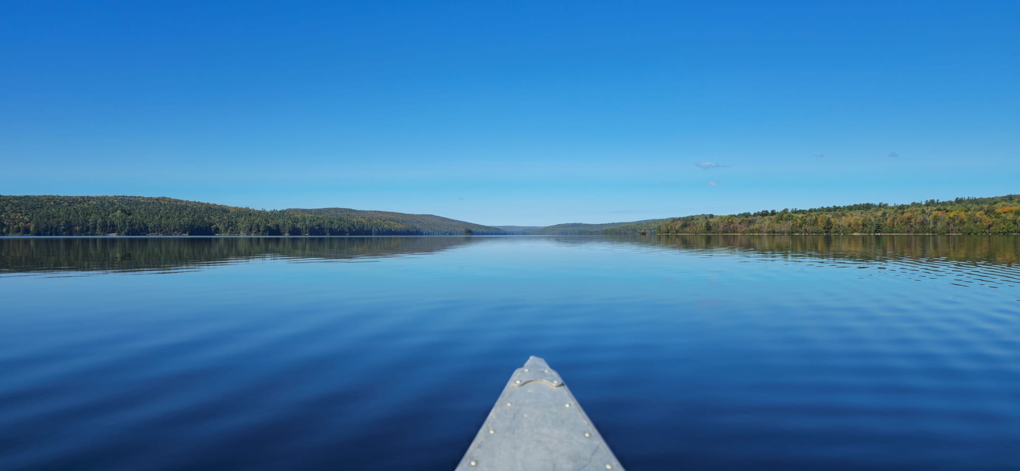
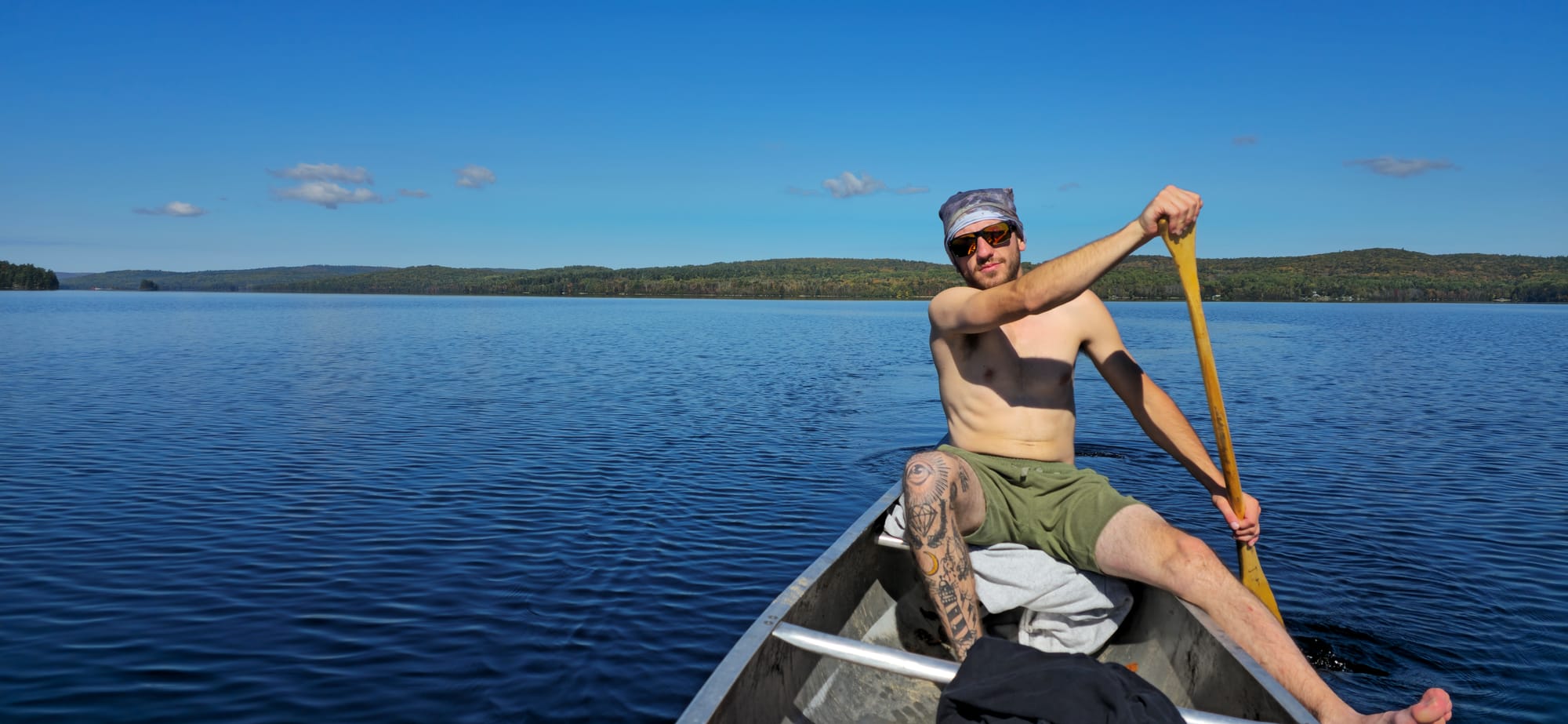
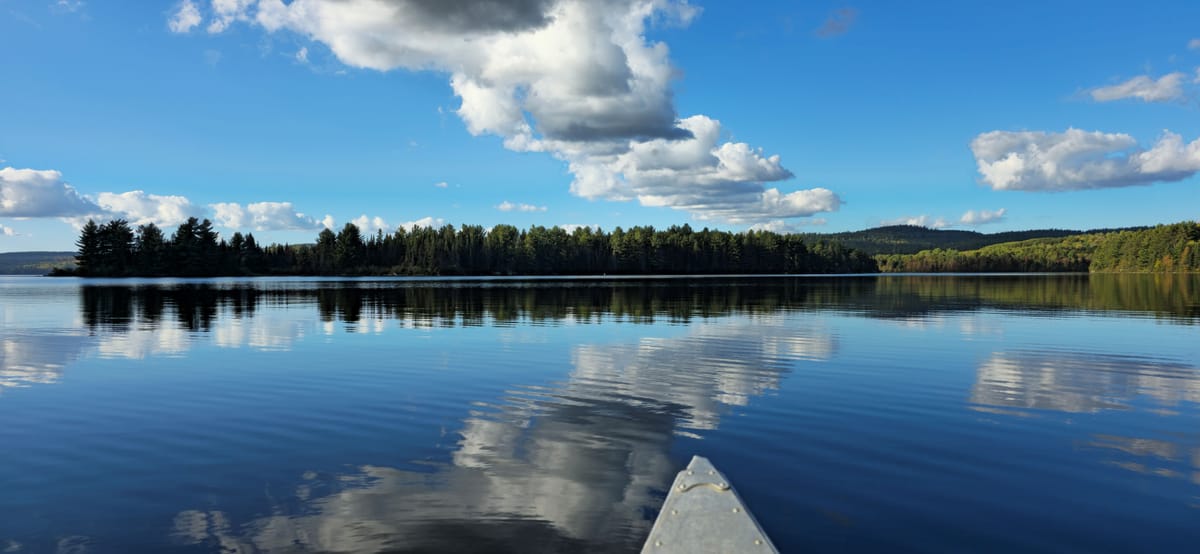
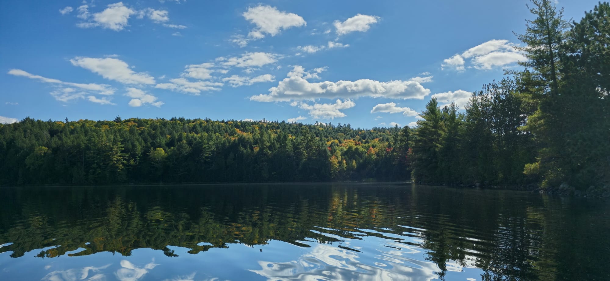
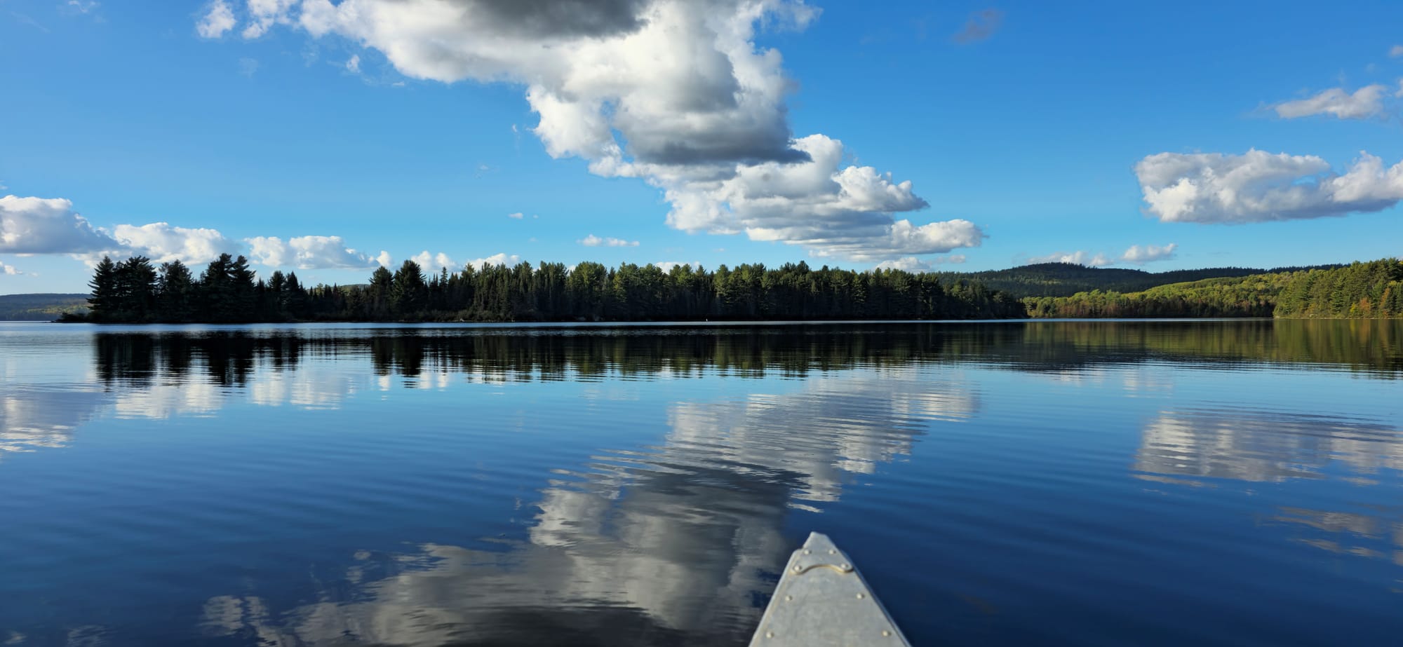
From dense fog to clear waters
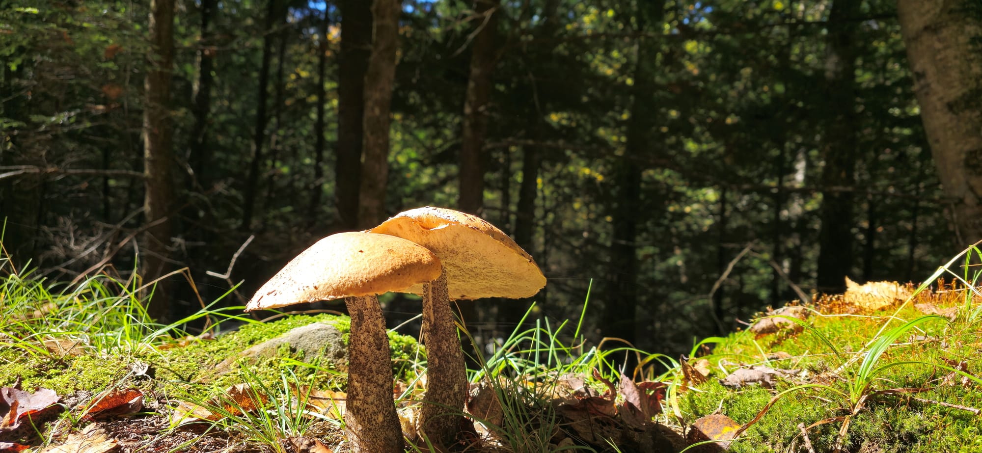
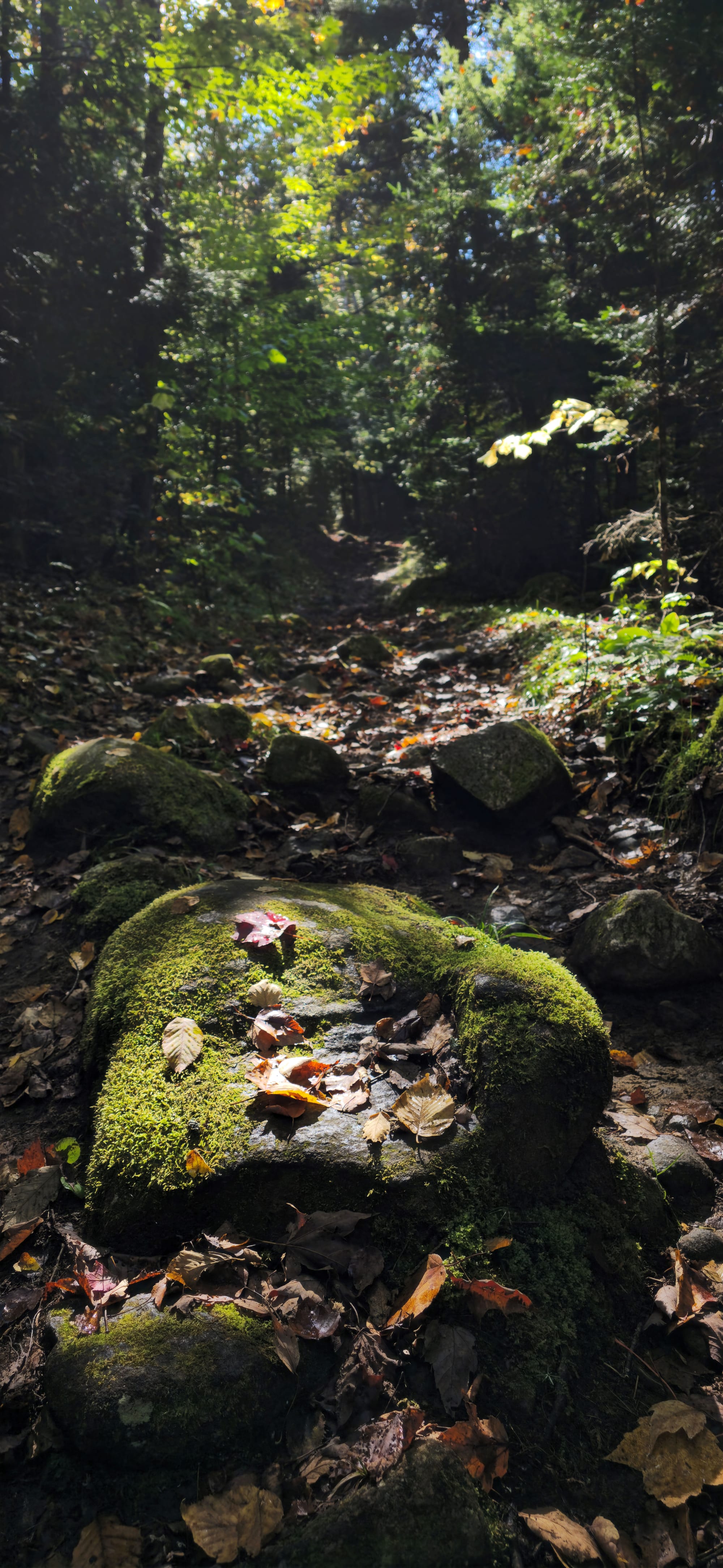
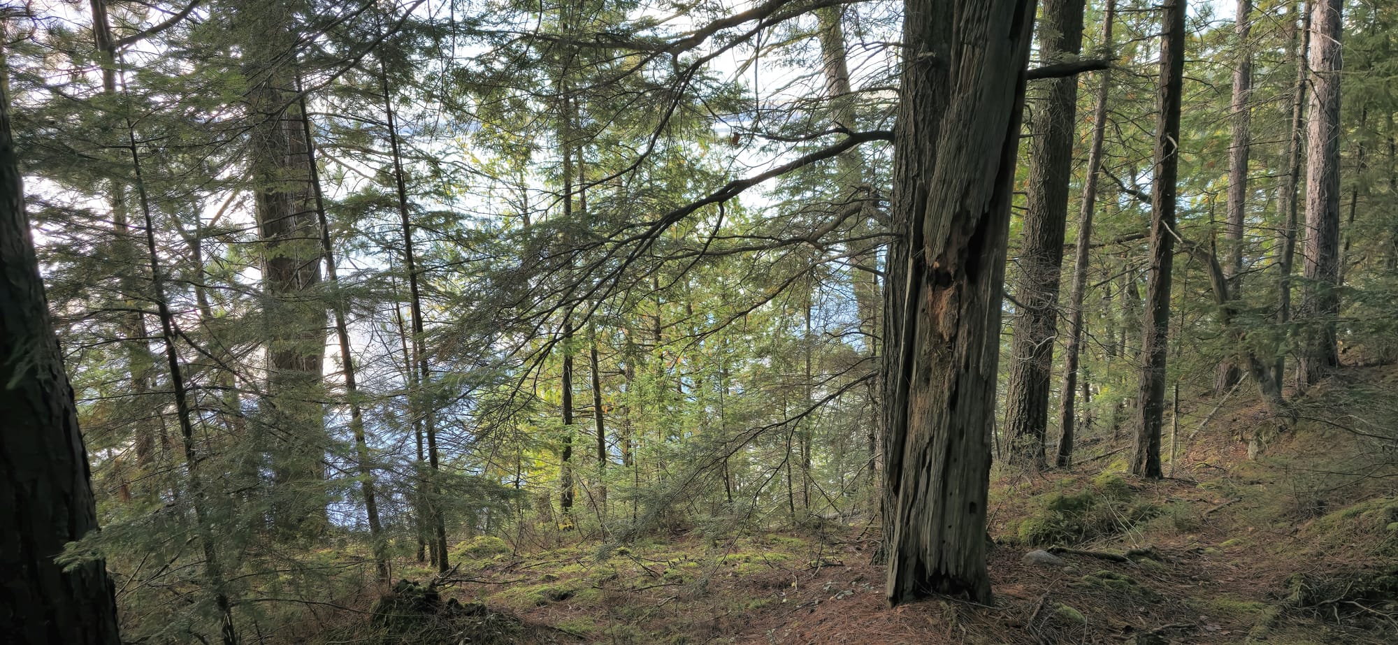
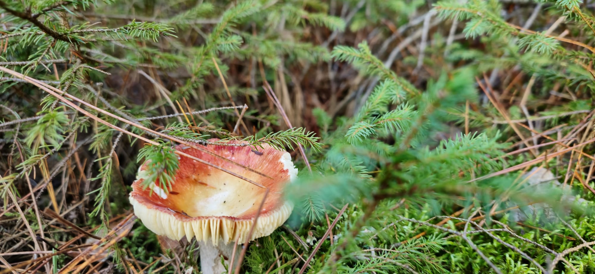
Our first time canoeing in a long time, and it turns out to be quite easy. We hiked up the portage path which came out at the top of the waterfall. Diverse mushrooms and moss were all over the main path. On one side, a steep decline leads into the Petawawa River, downstream from the waterfall.
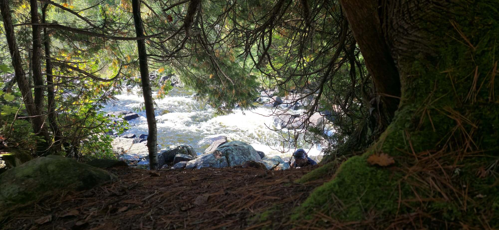
The water gets quite fast as it flows into the waterfall. I wouldn't raft down this. There's also a pretty significant drop where the current flows into.
Backcountry views
A backcountry campsite, complete with toilet, are along this portage route.
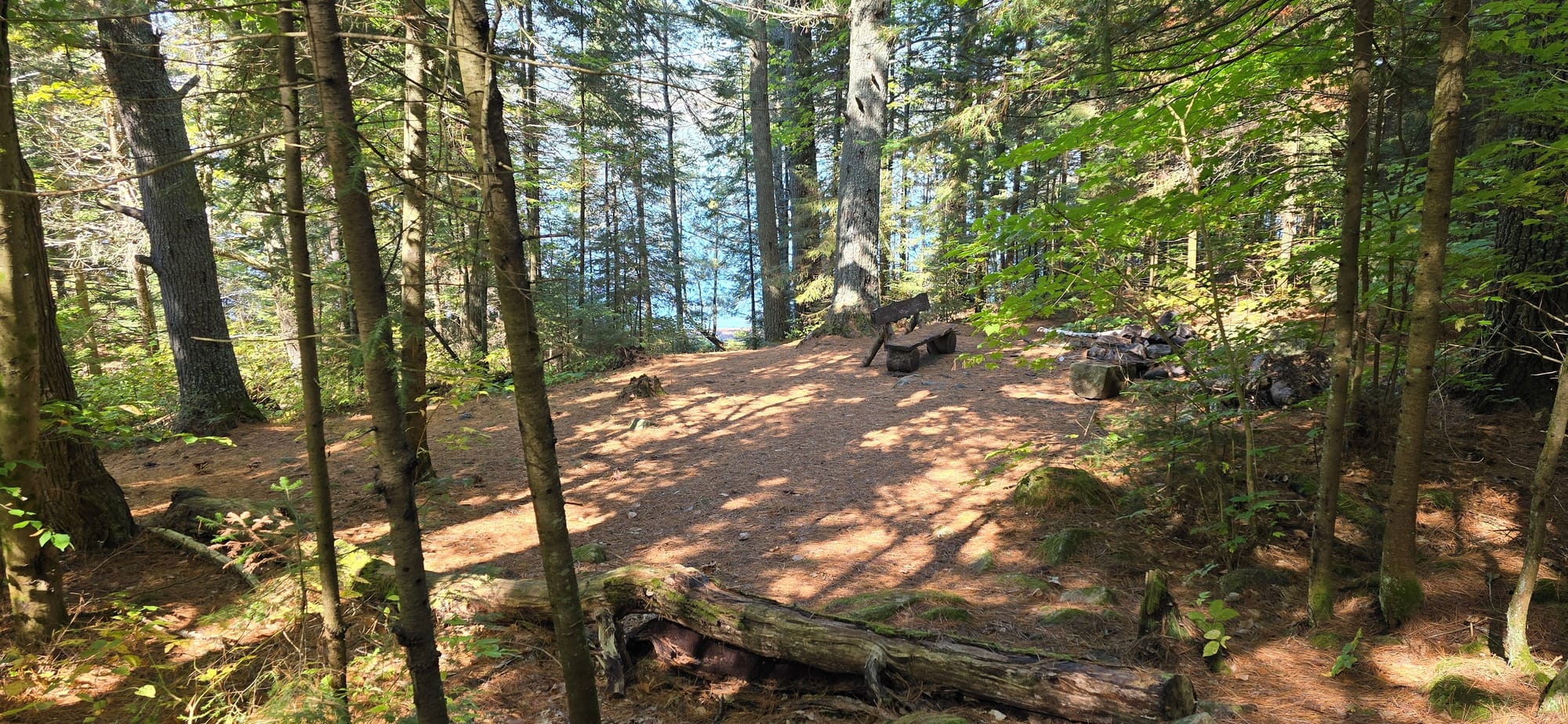
Backcountry site on Cedar Lake
Back in the water, we headed for the next island in Cedar Lake.
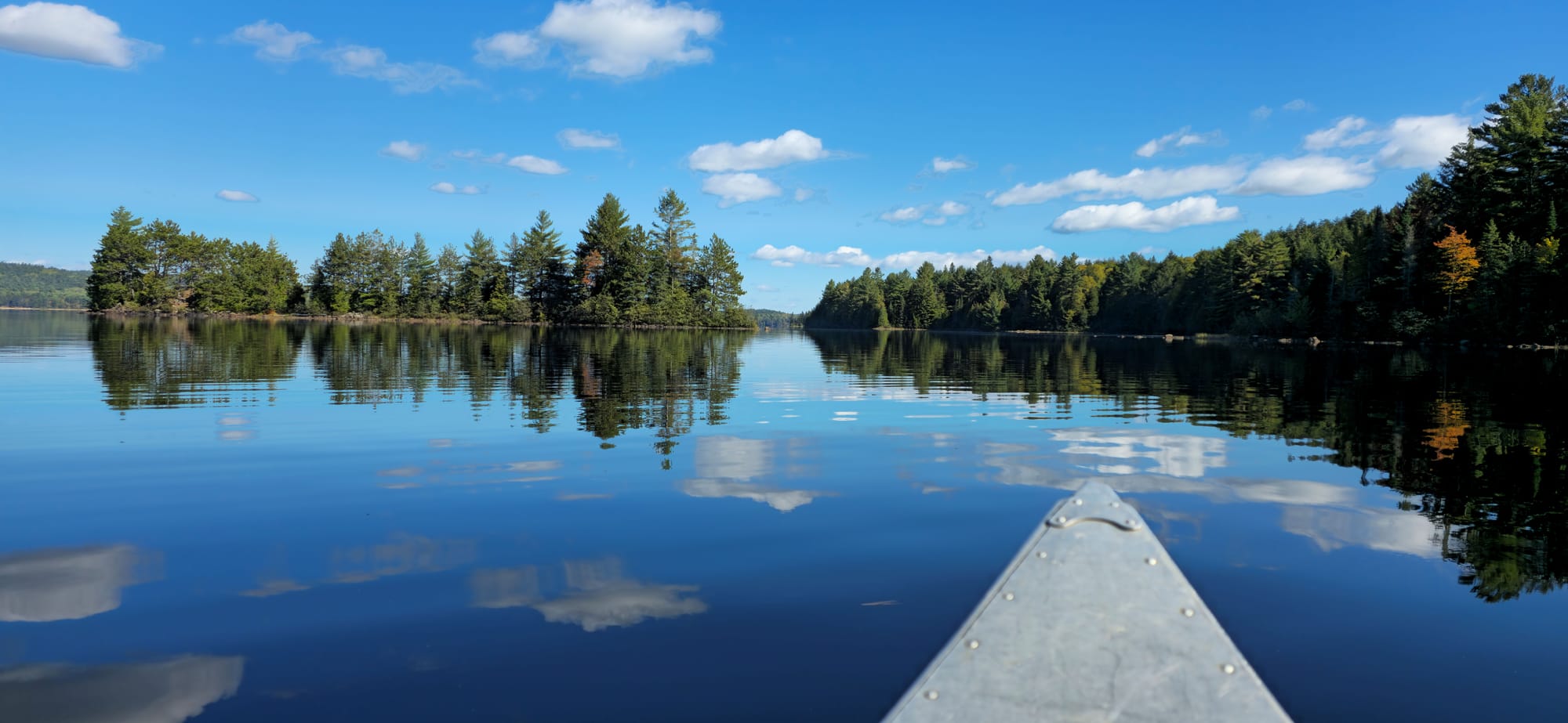
Heading for the island on the left
We docked on the island and checked it out. A small hilltop is on one side of the island and there's even a makeshift firepit. Not really any good spots for a hammock.
3 people could sleep here
The only animal on this island is this one squirrel. He kept nibbling on the bark. Is that normal?
Eating bark
We gave him some of what we had, but we didn't have much. 🍄
Squirrel getting comfy
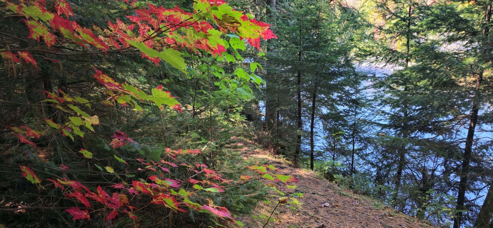
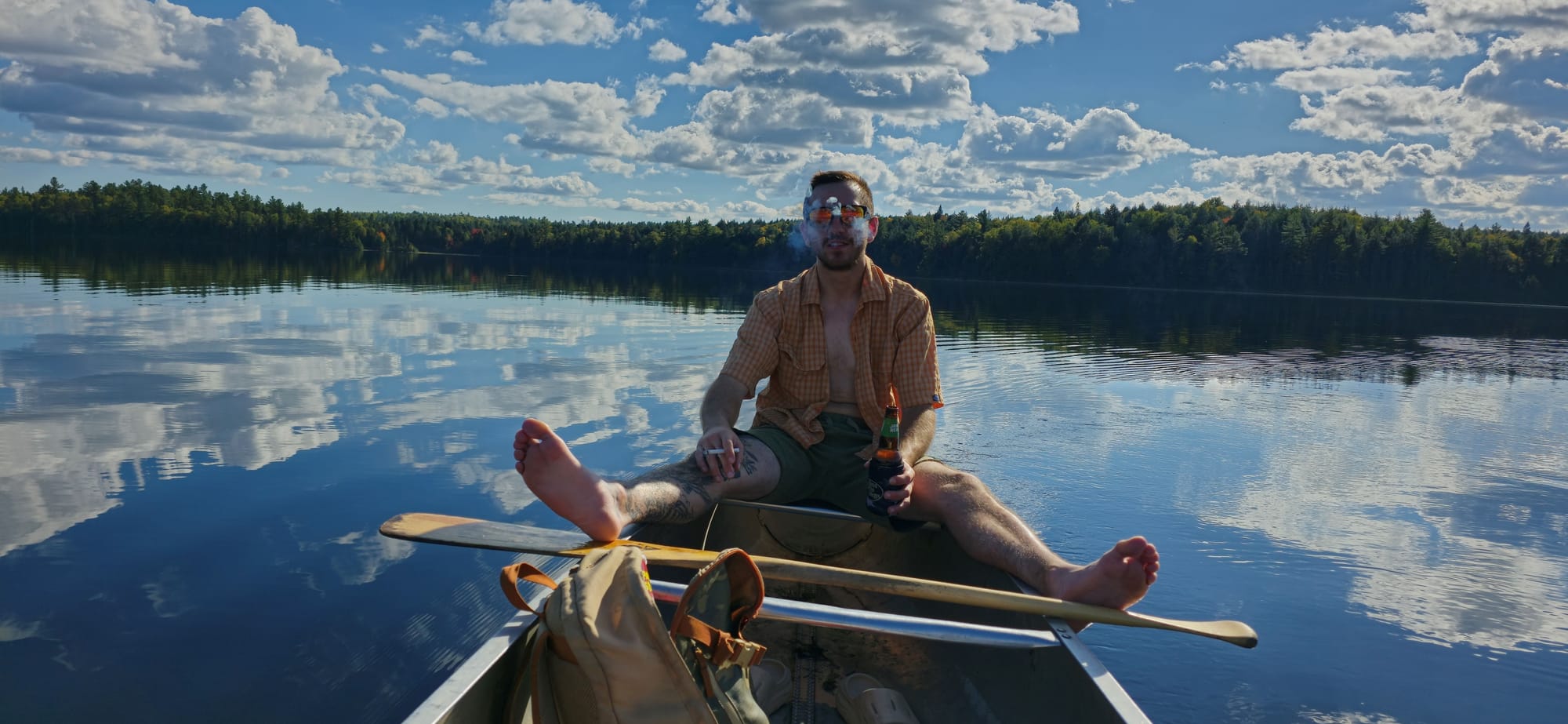
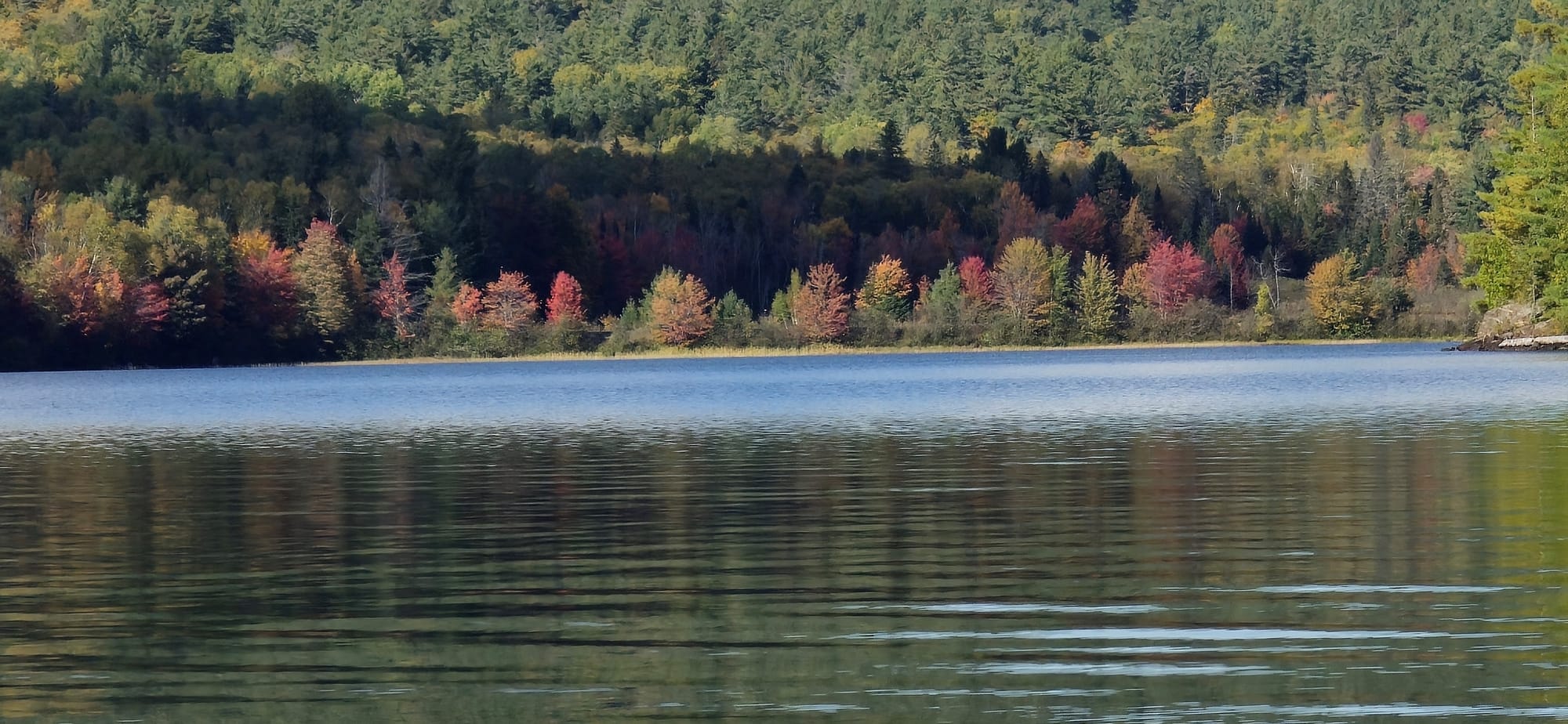
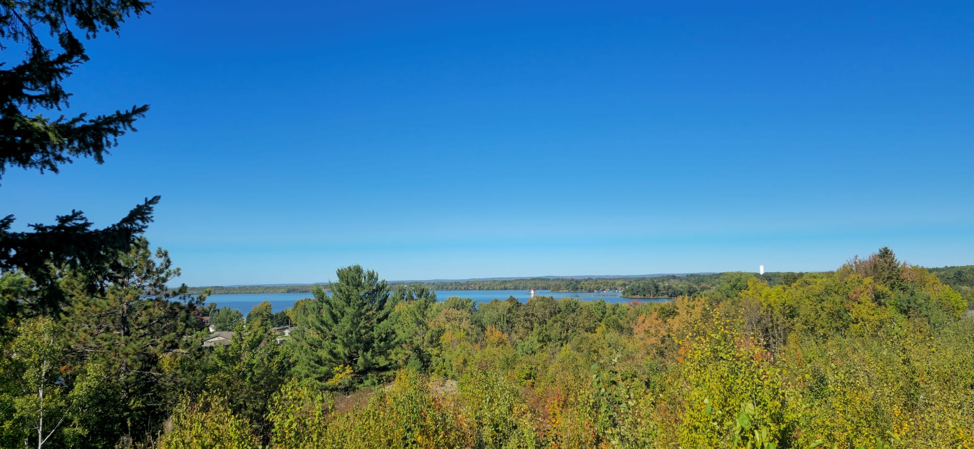
We kept paddling eastbound, checking out small islands and enjoying the sun's heat. Fall colours are just starting to settle in. "Leafers" - those who only come to Algonquin when the leaves change colours. That's what Mike called us.
We spotted a cliff face sticking out of one of the larger islands in the lake. It looked cool so we stopped there to rest and check it out. I climbed up the incline leading to a dense forest area where squirrels fought.

One of the bigger islands
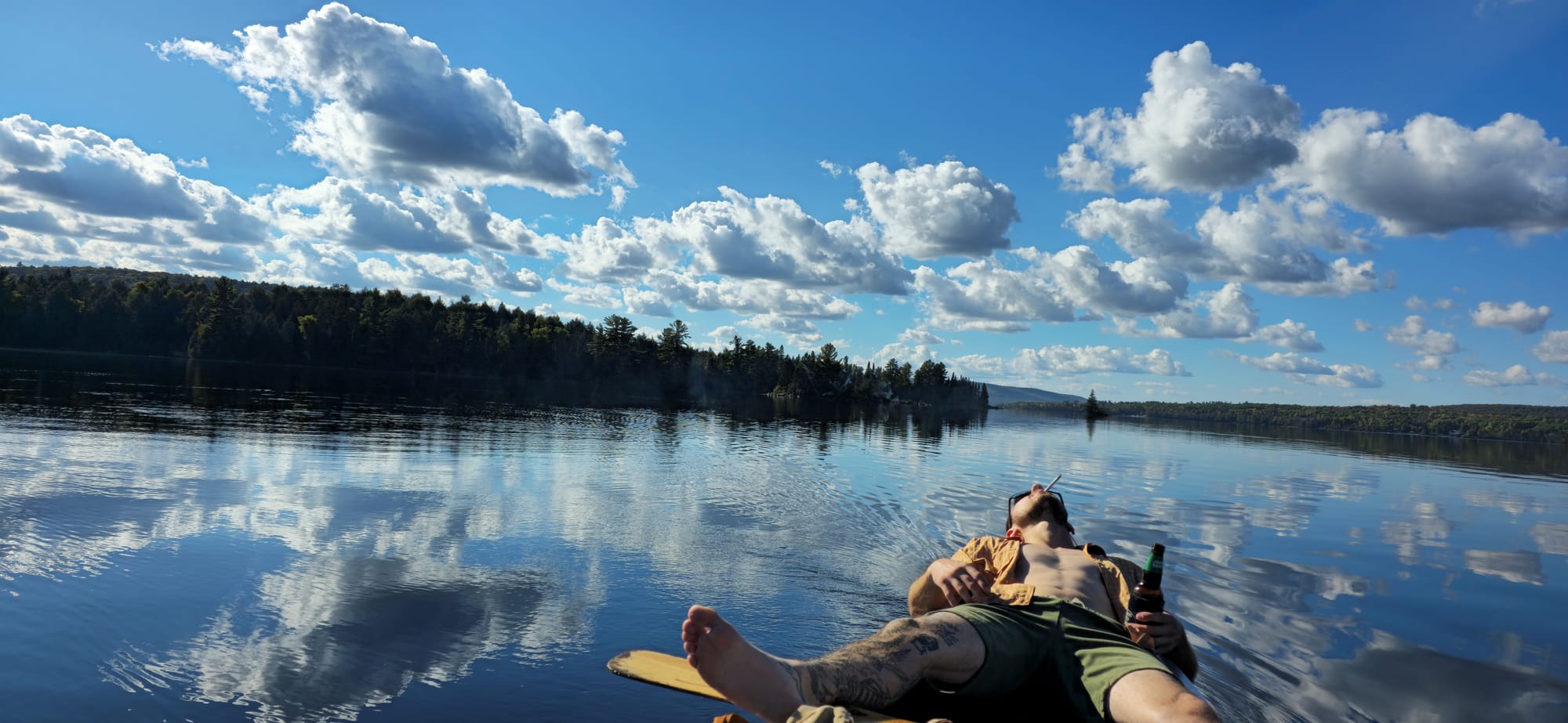
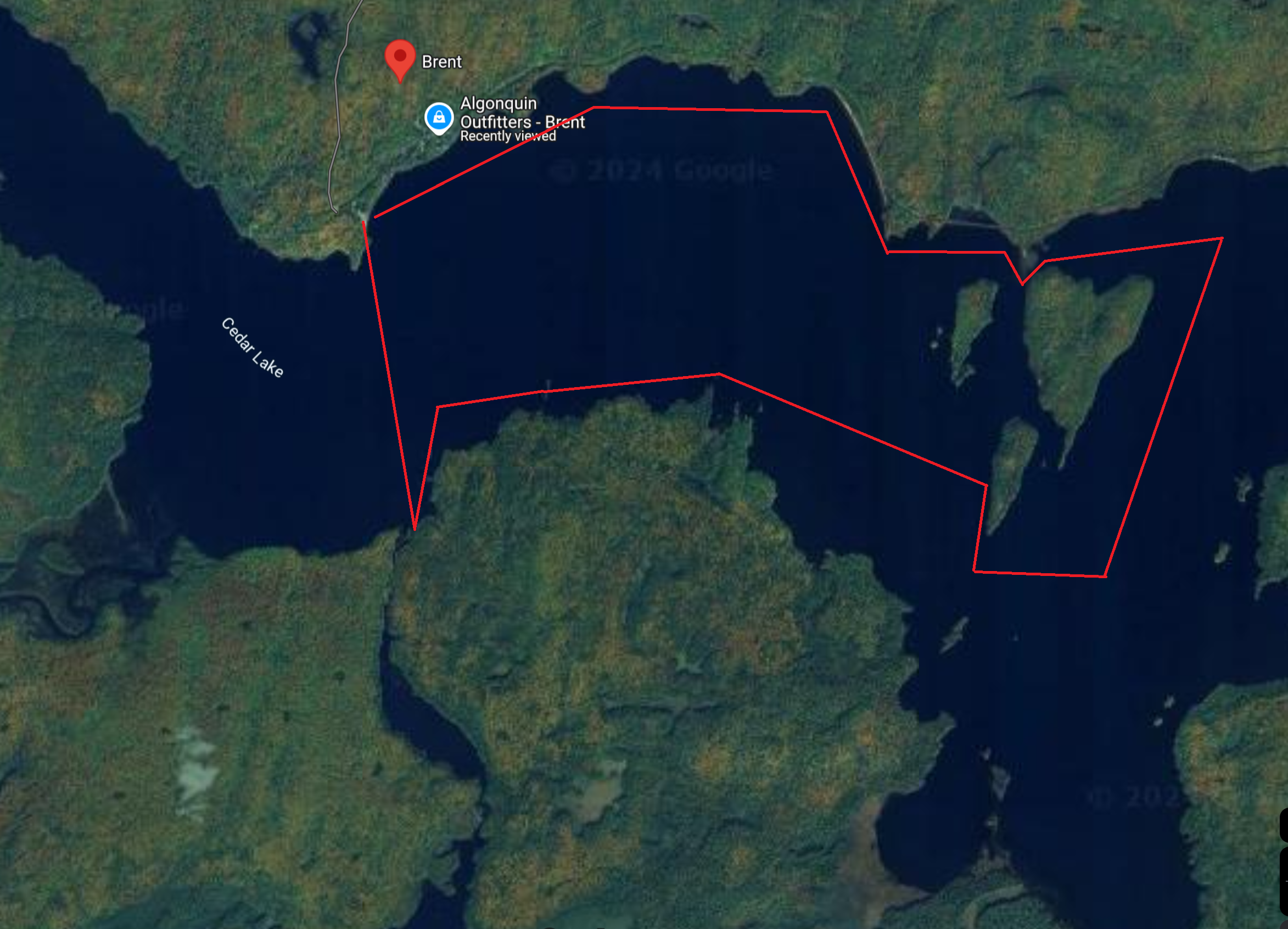
At this point sundown was approaching and along with it, the cold. We decided to complete the loop around Cedar Lake's eastern half.
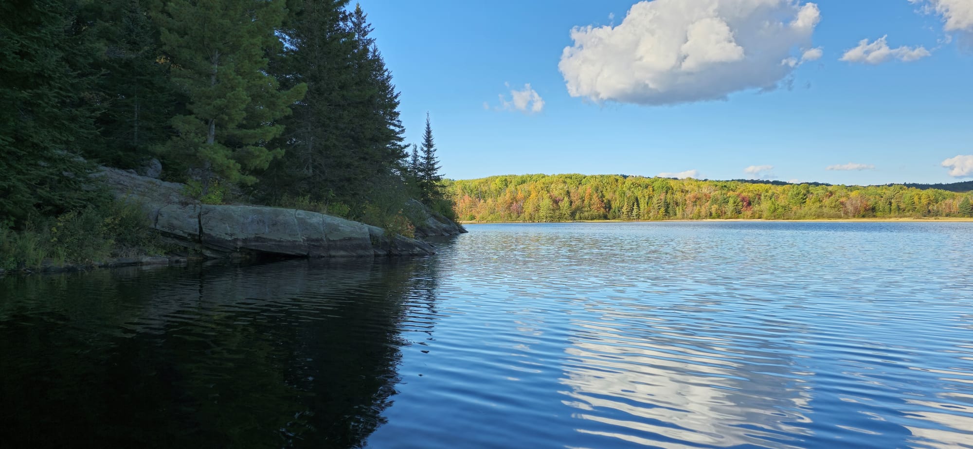
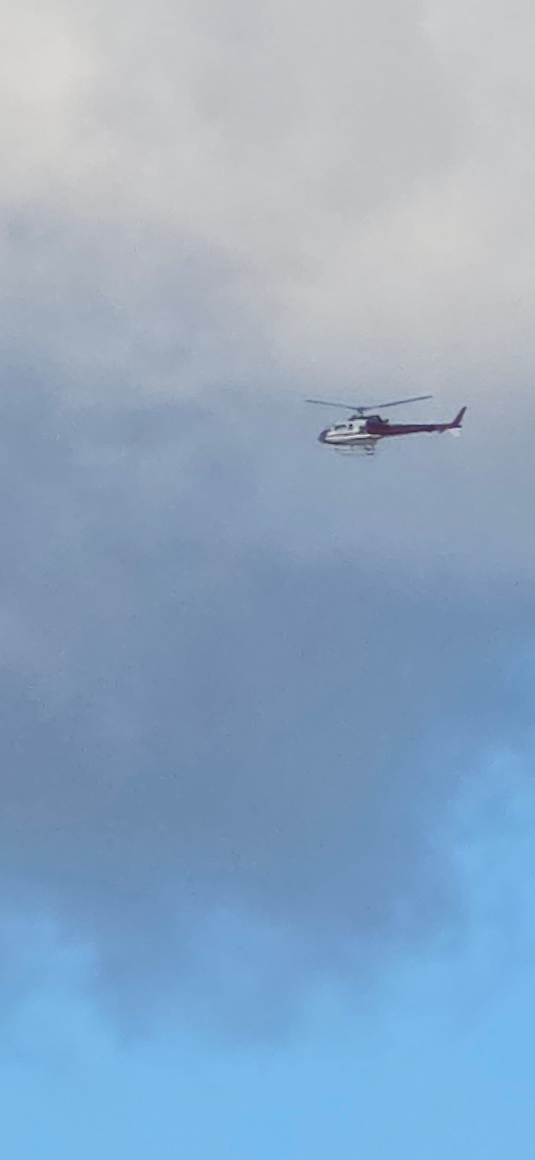
Above Brent, along the Cedar Lake shoreline, a helicopter is seen
The communications tower in Brent is our destination as it's the only way to differentiate the town from the rest of the forest once you're out on the water. The sun sets and our outing comes to a close.
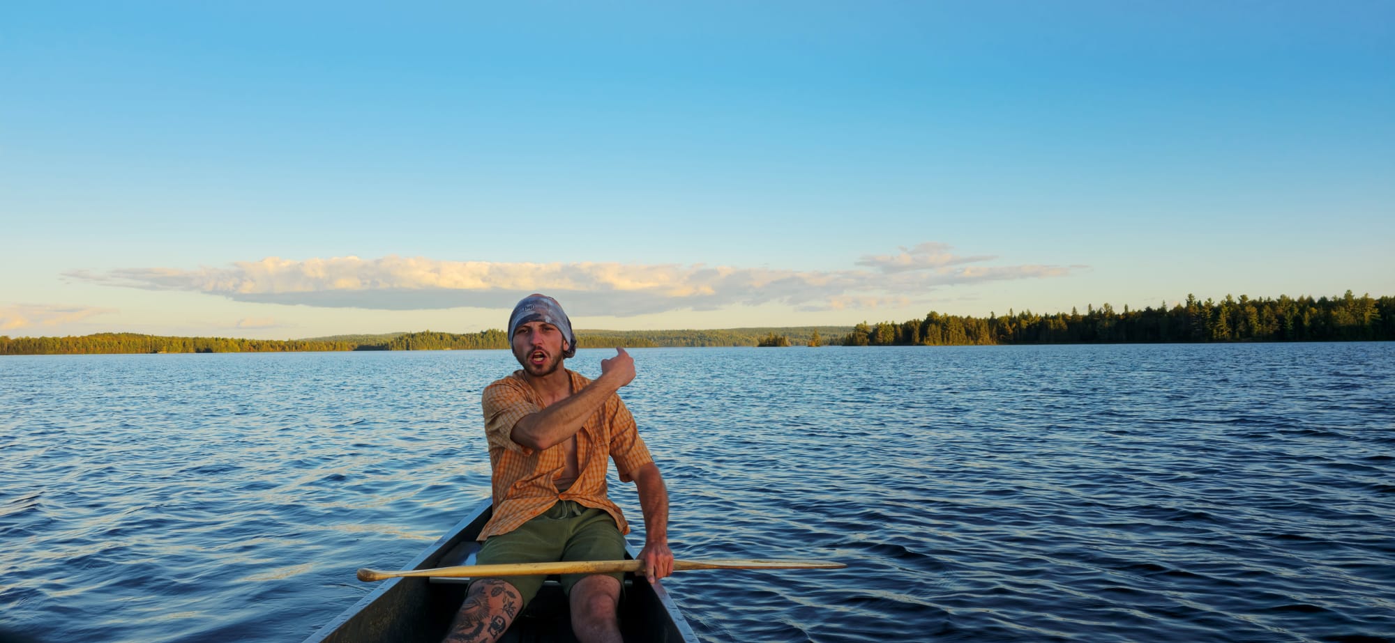
"We did that 👉"
Running out of gas
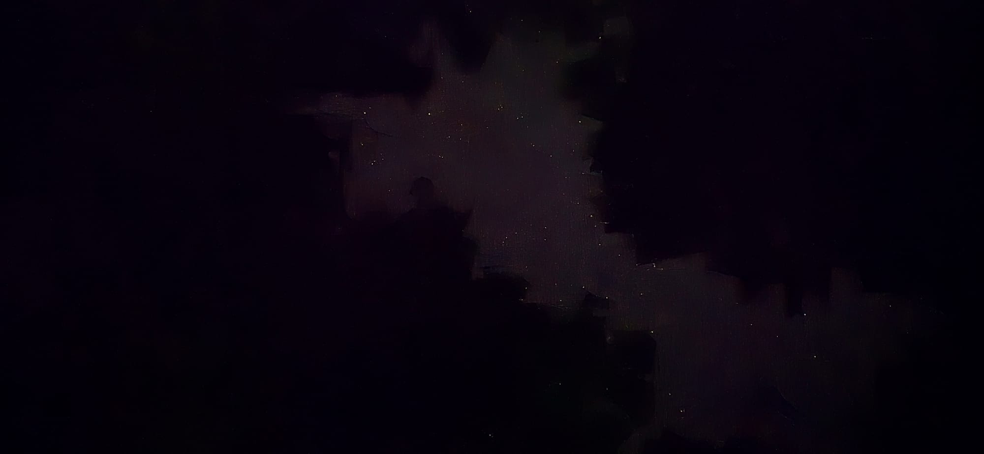
Last night here so why not drive out to Mattawa at 1am. I needed gas anyways. We pulled into the Mattawa Island Conservation Area and chilled. I tried to take some pictures of the car with the stars, but they didn't turn out that great. At first I used a multitool to prop the phone up and take pictures, then I switched the multitool for a Pepsi bottle.
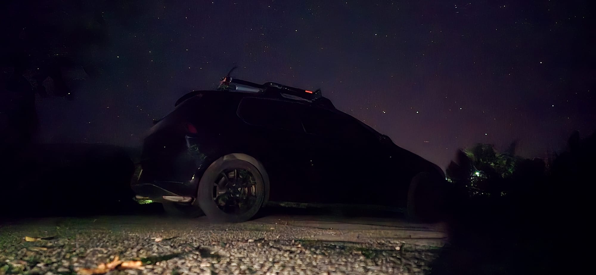
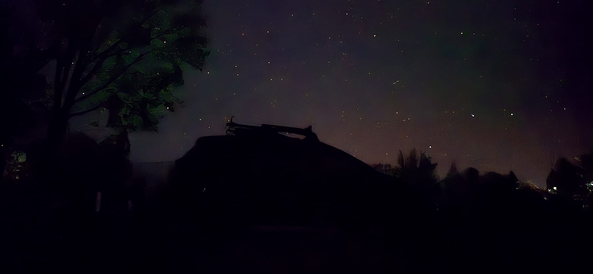
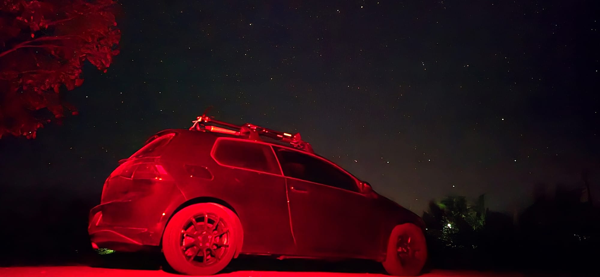
👎
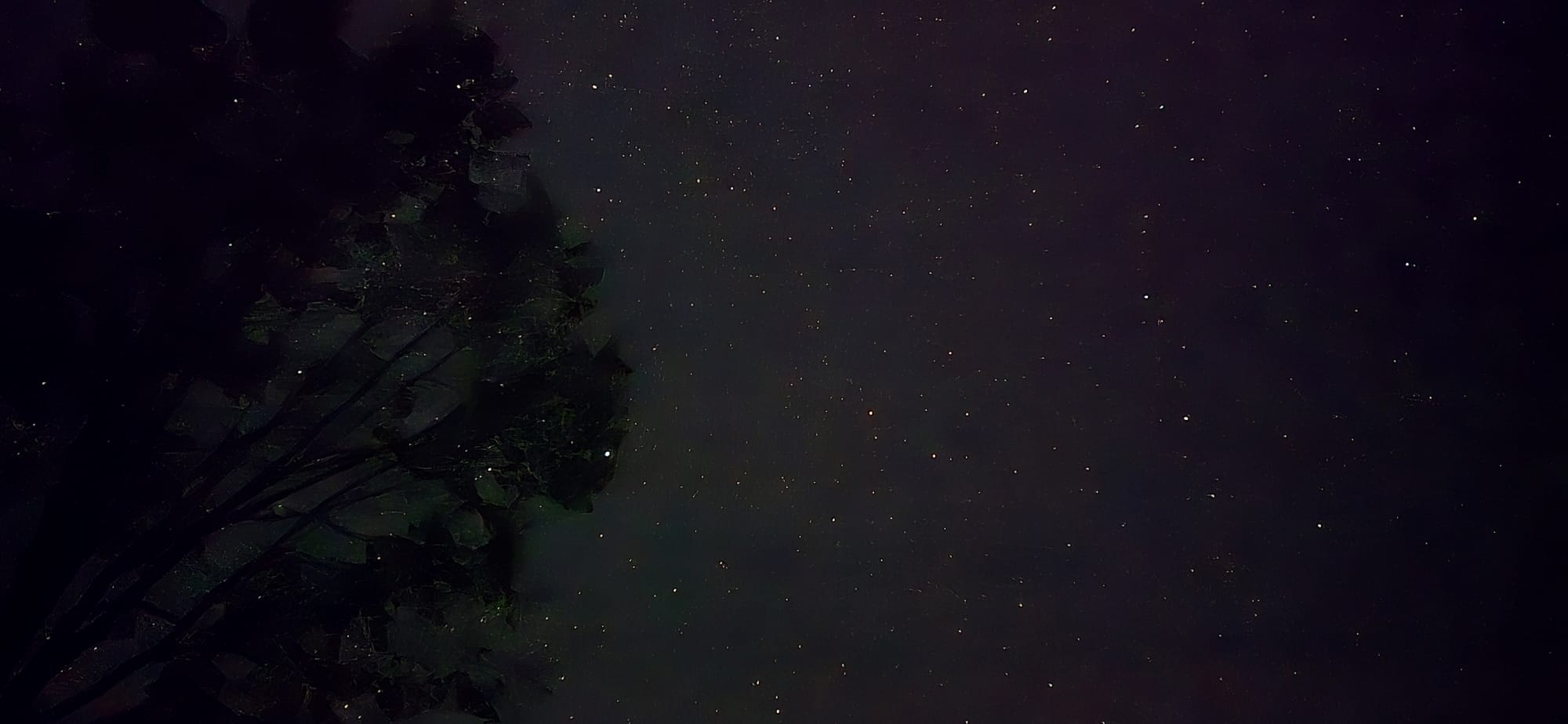
Mattawa Island Conservation Area
There are no gas stations open. The pumps are closed too. We have no choice but to head back to Brent. Right as we get to Brent road, I realize I forgot my multitool on the ground in Mattawa. I drove back to get it, but at this point I have 150km of gas range (71km drive to the campsite and we are currently at the closest gas pumps). I try to maintain 6th gear, 1.2k rpms all the way back to Brent road. Once in Brent, I try to coast as much as possible and maintain speed. This tripped me out since it was dark out and the rocky terrain made the car drift on hard corners. Along the way I saw a bobcat walk across the road. We make it back to the campsite with TPMS sensors going off and 80km of range left.
Day 4: Brent -> Windsor
09/30/24
We packup pretty quickly. All the ice cubes in the cooler melted, but the ice blocks are still big blocks of ice. Ice blocks are definitely better. I check my tire pressure before leaving and they all seem to be at proper psi. Not sure why the sensors were going off last night.
Cleanup time
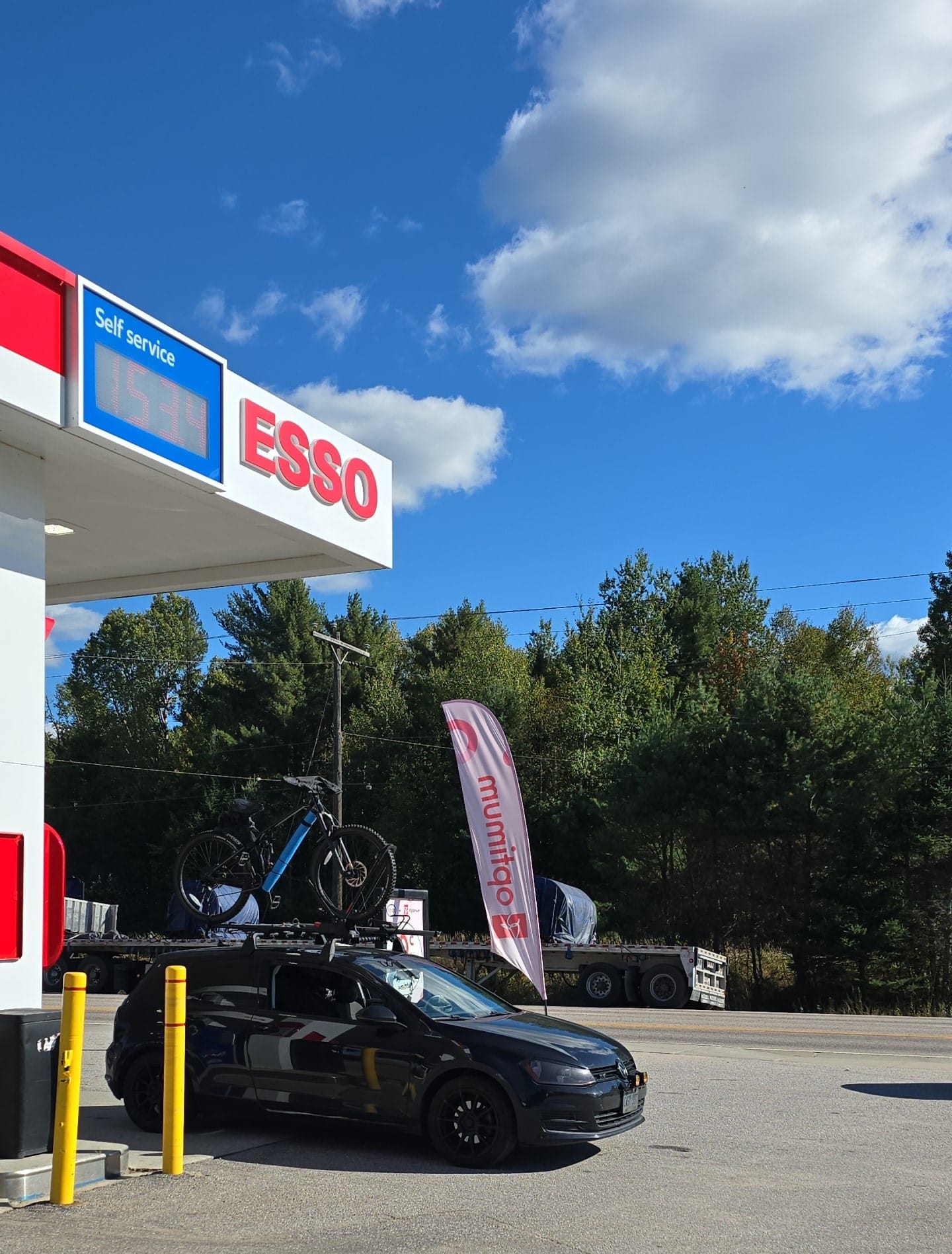
Again, trying to maintain fuel economy until Mattawa, we tailgate cars down the highway, trying to be more aero. I had already succumbed to the shame of having to call CAA, but with less than 5km of range left we arrive at the first Mattawa gas station.
6.3L/100km gas master makes it to the pumps
We walked around Mattawa for a bit checking out some stores. It was National Day for Truth & Reconciliation and most Mattawans wore either orange or a fringe minority shirt (lol). I managed to take clearer pictures of The Three Crosses.
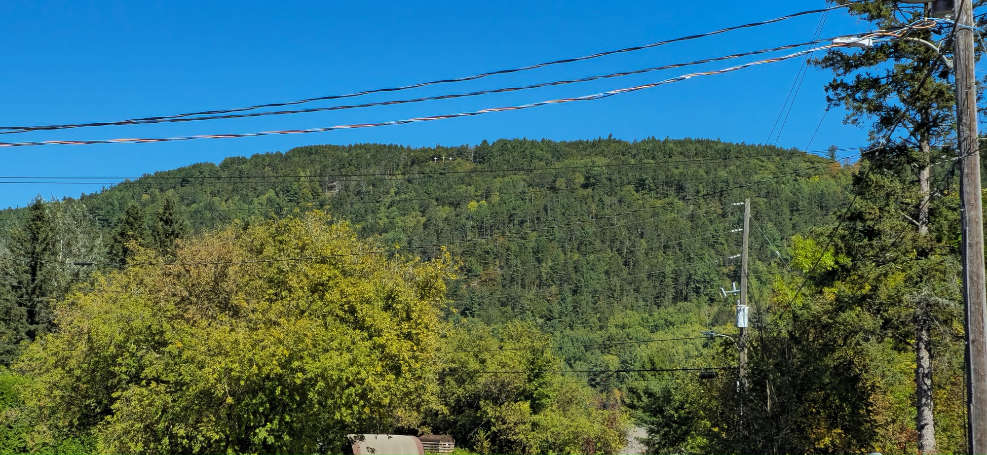
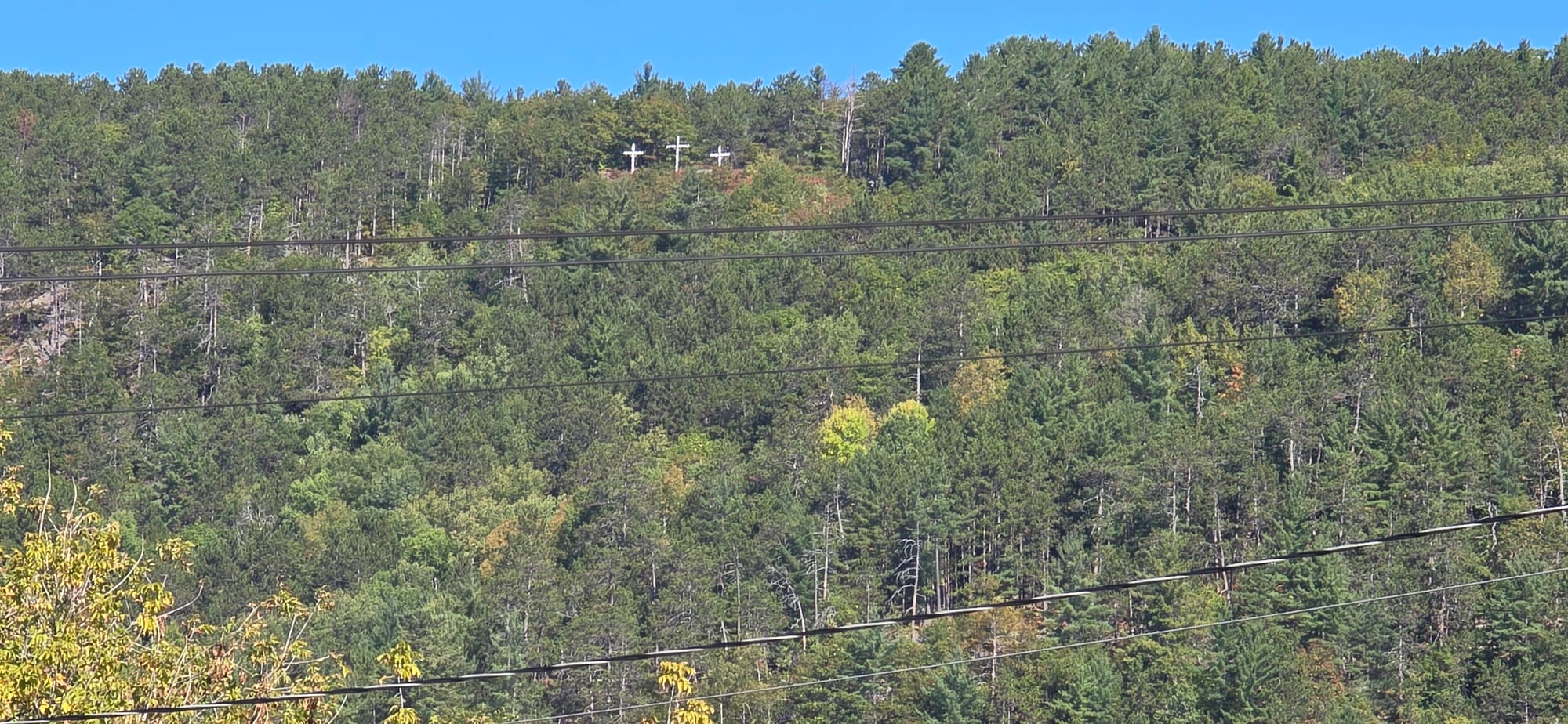
The Three Crosses on Quebec Hill, view from Mattawa
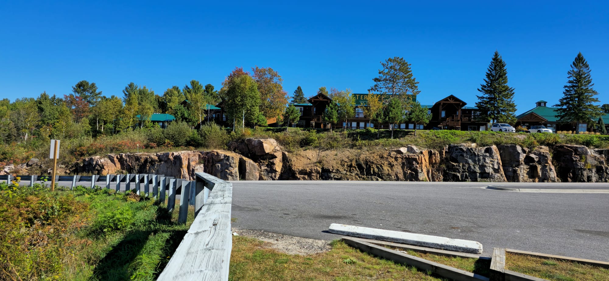
We stopped on a side road parallel to Highway 11. Along a bay connected to Lake Nippising is a nice lodge.
We filled up again in Toronto which was a bad idea. Always fill up before the GTA area. That was a 40 minute detour for gas. Stopped in London for food. We went to a McDonalds right off the 401 so we didn't see much of London at all. Still, our time there was full of meth heads, drug deals behind dumpsters, crazy drivers, tweakers, and there was even a needle drop in the McDonald's washroom.
Post Mortem
- Yakima bike holder main screw wiggles around now
- Yakima rear end cap came off because the rear bike wheel spins, pushing the end cap off
- just buy 1Up
Algonquin/Brent Tips
- Due to surrounding mountains and dense forest, sunset occurred around 6:30pm and was dark by 7pm. This resulted in temperature drops down to 45F at night. Fog also flows through the area making it feel colder.
- Brent road is a 40km stretch of forest access road. Ensure proper tire pressure before before traversing.
- The closest gas station is in Mattawa, 71km from Brent Provincial Park. Mattawa gas stations are closed at night, including the pumps. The closest open gas station at night is in Pembroke near the Quebec crossing, about 160km from Brent Provincial Park. Always keep gas above half a tank.
- Algonquin Outfitters Brent is located in the settlement towards site 30. Day rentals are first come first serve. Day rentals can be brought back early the next morning as they don't really care.
- Bring blister tape. My skin tore while paddling.
- Binoculars, gps are useful on the water